UN/LOCODE hub · United Kingdom
GBBHM
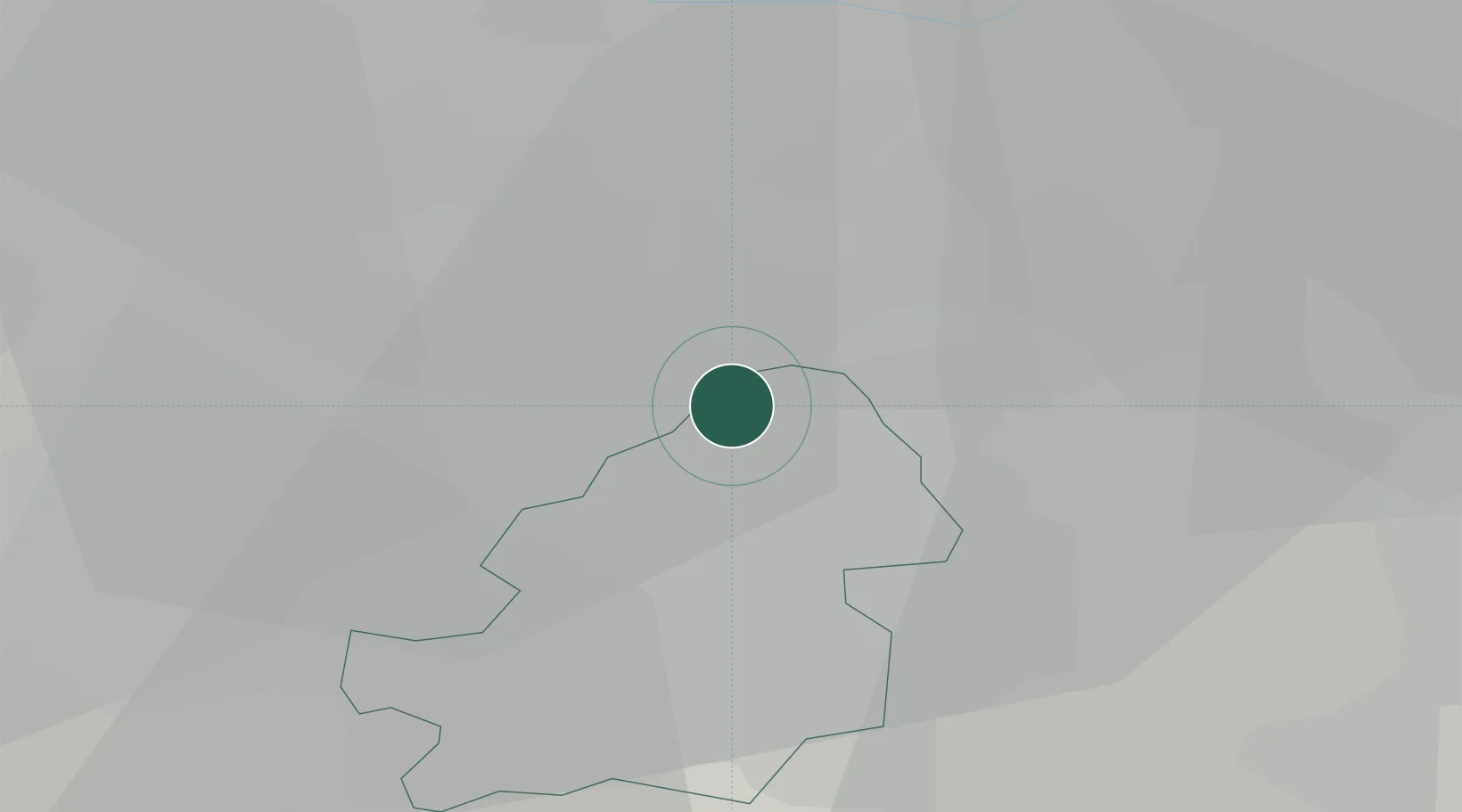
Birmingham
52.5715°, -1.8436°
1,157,603
Population
4
Transport functions
Transport Functions
Rail
Road
Airport
Postal
Hub Profile
Place type
Provincial seat
Region
England
Population
1,157,603
Time zone
Europe/London
Elevation
149 m
Logistics facilities
10
Location
Nearby Logistics Neighbours
Cities
- 1Erdington5 km
- 2Perry Barr9 km
- 3Hockley9 km
- 4Handsworth10 km
- 5Stechford10 km
Ports
- 1Sharpness105 km
- 2Manchester105 km
- 3Garlston112 km
- 4Liverpool122 km
- 5Mostyn126 km
Airports
- 1Birmingham Airport15 km
- 2RAF Cosford32 km
- 3Coventry Airport33 km
- 4East Midlands Airport45 km
- 5RAF Shawbury61 km
Trade Zones
DatabookThe Record of Consolidated Knowledge
United Kingdom beyond logistics?