Transport Functions
Port
Multimodal
Hub Profile
Place type
Populated place
Region
England
Time zone
Europe/London
Elevation
108 m
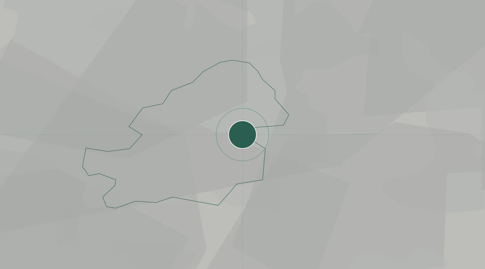
Location
Nearby Logistics Neighbours
Cities
- 1Small Heath4 km
- 2Tyseley4 km
- 3Sheldon4 km
- 4Erdington6 km
- 5Balsall Heath7 km
Ports
- 1Sharpness97 km
- 2Manchester116 km
- 3Garlston121 km
- 4Avonmouth126 km
- 5Bristol127 km
Airports
- 1Birmingham Airport5 km
- 2Coventry Airport25 km
- 3RAF Cosford38 km
- 4East Midlands Airport50 km
- 5RAF Shawbury68 km
Trade Zones
DatabookThe Record of Consolidated Knowledge
United Kingdom beyond logistics?