Transport Functions
Port
Hub Profile
Place type
Populated place
Region
England
Time zone
Europe/London
Elevation
97 m
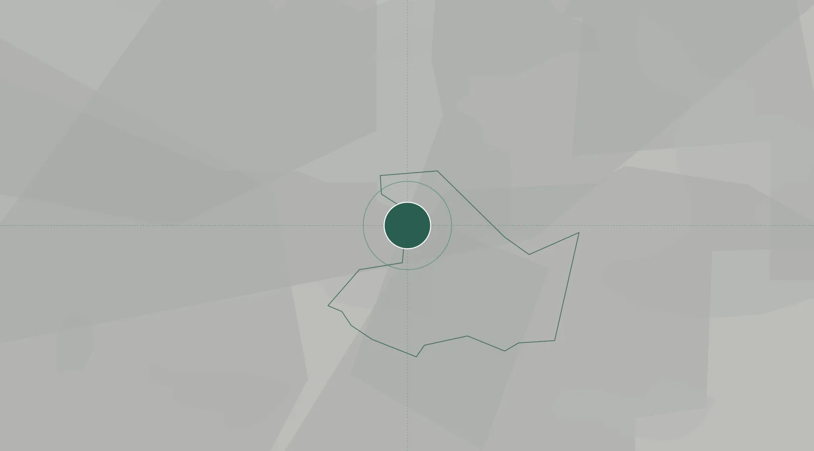
Location
Nearby Logistics Neighbours
Cities
- 1Small Heath3 km
- 2Tyseley3 km
- 3Stechford4 km
- 4Balsall Heath8 km
- 5Barston9 km
Ports
- 1Sharpness95 km
- 2Manchester120 km
- 3Avonmouth124 km
- 4Bristol124 km
- 5Garlston126 km
Airports
- 1Birmingham Airport1 km
- 2Coventry Airport21 km
- 3RAF Cosford42 km
- 4East Midlands Airport52 km
- 5Gloucestershire Airport68 km
Trade Zones
DatabookThe Record of Consolidated Knowledge
United Kingdom beyond logistics?