Transport Functions
Port
Hub Profile
Place type
Populated place
Region
England
Time zone
Europe/London
Elevation
65 m
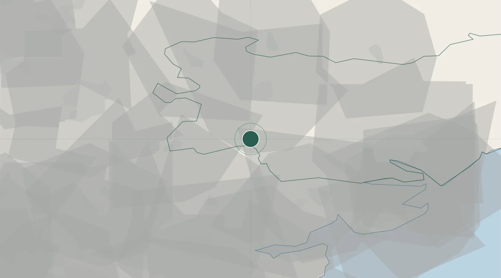
Location
Nearby Logistics Neighbours
Cities
- 1Lavenham8 km
- 2Castle Hedingham14 km
- 3Earls Colne19 km
- 4Elmswell20 km
- 5Wakes Colne21 km
Ports
- 1Colchester29 km
- 2Ipswich34 km
- 3Harwich44 km
- 4Felixstowe46 km
- 5Sheerness72 km
Airports
- 1Wattisham Airfield19 km
- 2RAF Honington28 km
- 3RAF Mildenhall32 km
- 4RAF Lakenheath35 km
- 5Cambridge City Airport37 km
Trade Zones
DatabookThe Record of Consolidated Knowledge
United Kingdom beyond logistics?