Transport Functions
Port
Rail
Road
Hub Profile
Place type
Populated place
Region
England
Population
14,170
Time zone
Europe/London
Elevation
8 m
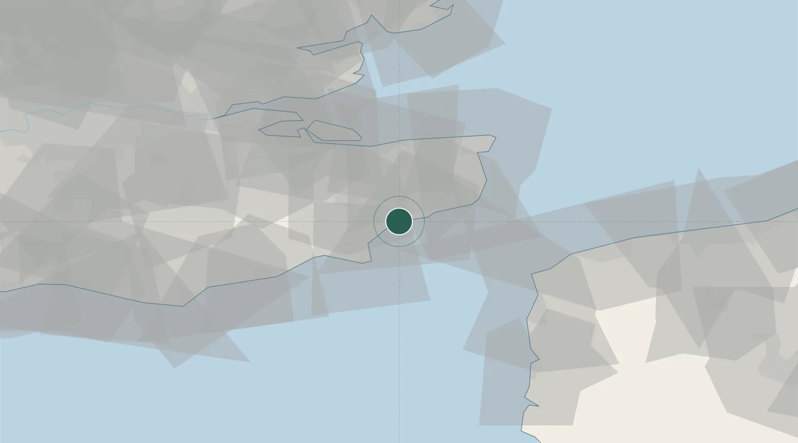
Location
Nearby Logistics Neighbours
Cities
- 1Folkestone5 km
- 2Saint Marys Bay10 km
- 3Aldington11 km
- 4Sevington14 km
- 5New Romney14 km
Ports
- 1Folkestone Harbour8 km
- 2Dover Harbor18 km
- 3Rye Harbour27 km
- 4Whitstable34 km
- 5Ramsgate38 km
Airports
Trade Zones
DatabookThe Record of Consolidated Knowledge
United Kingdom beyond logistics?