UN/LOCODE hub · United Kingdom
GBFOL
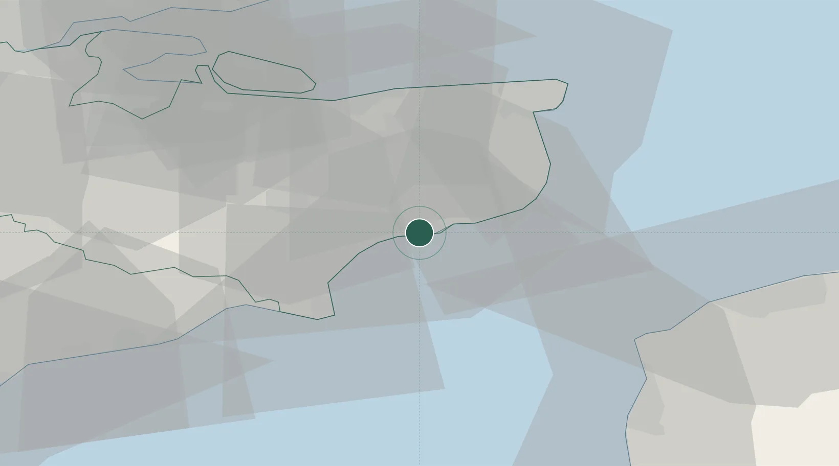
Folkestone
51.0833°, 1.1500°
66,429
Population
3
Transport functions
Transport Functions
Port
Rail
Road
Hub Profile
Place type
Populated place
Region
England
Population
66,429
Time zone
Europe/London
Elevation
46 m
Location
Nearby Logistics Neighbours
Cities
- 1Hythe5 km
- 2Dover12 km
- 3Saint Marys Bay15 km
- 4Aldington15 km
- 5Aylesham16 km
Ports
- 1Dover Harbor13 km
- 2Rye Harbour32 km
- 3Whitstable33 km
- 4Ramsgate33 km
- 5Sheerness49 km
Airports
Trade Zones
DatabookThe Record of Consolidated Knowledge
United Kingdom beyond logistics?