UN/LOCODE hub · United Kingdom
GBNRN
New Romney
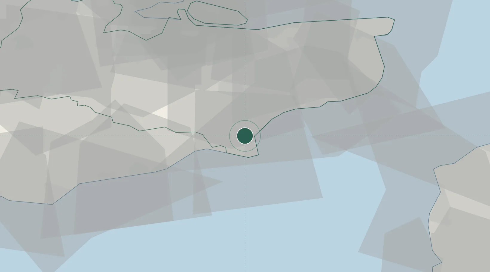
50.9833°, 0.9333°
9,674
Population
2
Transport functions
Transport Functions
Rail
Road
Hub Profile
Place type
Populated place
Region
England
Population
9,674
Time zone
Europe/London
Elevation
6 m
Location
Nearby Logistics Neighbours
Cities
- 1Saint Marys Bay4 km
- 2Lydd on Sea6 km
- 3Dungeness8 km
- 4Aldington11 km
- 5Stone12 km
Ports
- 1Rye Harbour13 km
- 2Folkestone Harbour22 km
- 3Dover Harbor32 km
- 4Whitstable43 km
- 5Ramsgate52 km
Airports
Trade Zones
DatabookThe Record of Consolidated Knowledge
United Kingdom beyond logistics?