Transport Functions
Port
Rail
Road
Hub Profile
Region
KEN
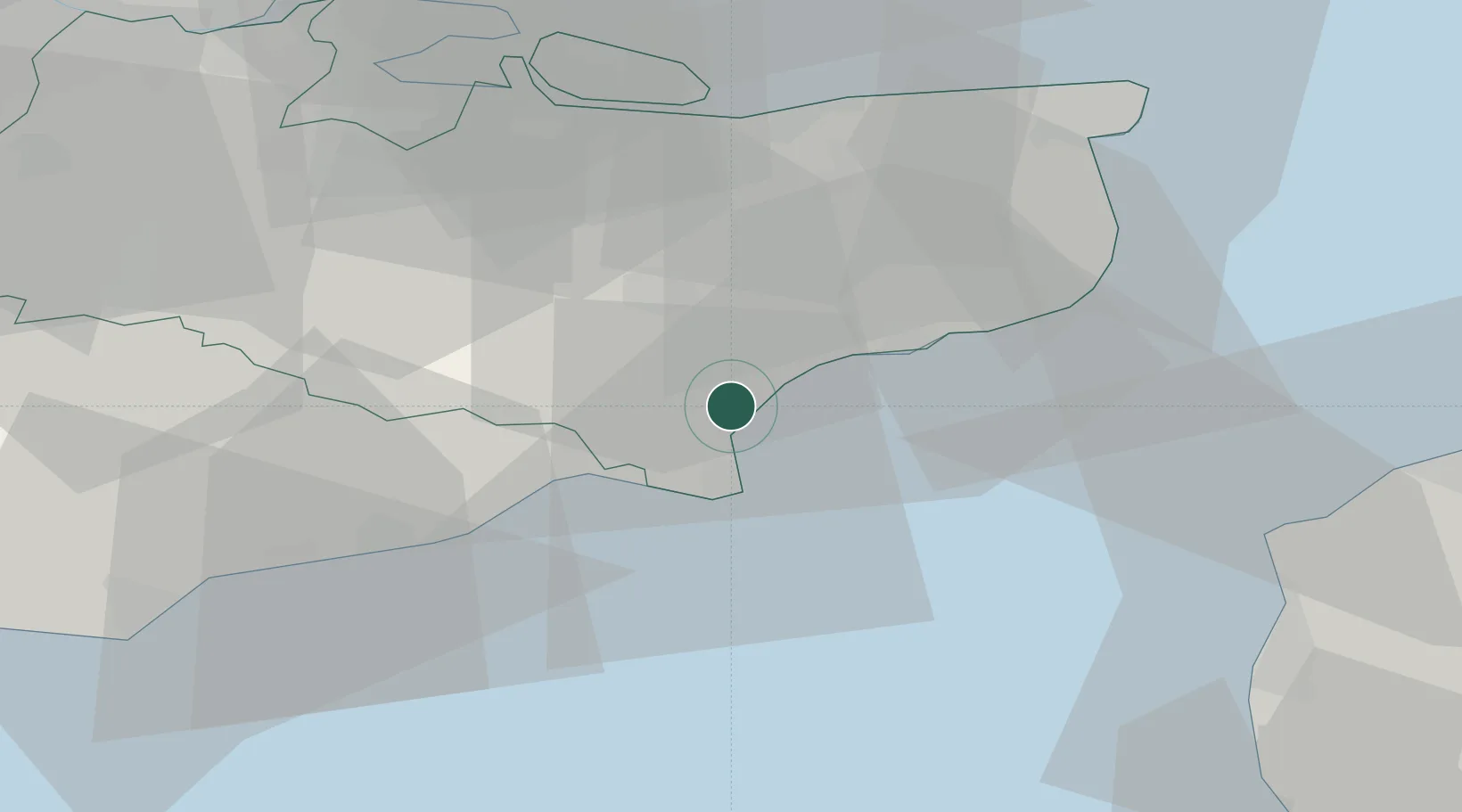
Location
Nearby Logistics Neighbours
Cities
- 1New Romney4 km
- 2Aldington8 km
- 3Lydd on Sea9 km
- 4Hythe10 km
- 5Dungeness11 km
Ports
- 1Rye Harbour17 km
- 2Folkestone Harbour18 km
- 3Dover Harbor28 km
- 4Whitstable39 km
- 5Ramsgate47 km
Airports
Trade Zones
DatabookThe Record of Consolidated Knowledge
United Kingdom beyond logistics?