Transport Functions
Road
Multimodal
Hub Profile
Place type
Populated place
Region
England
Population
988
Time zone
Europe/London
Elevation
78 m
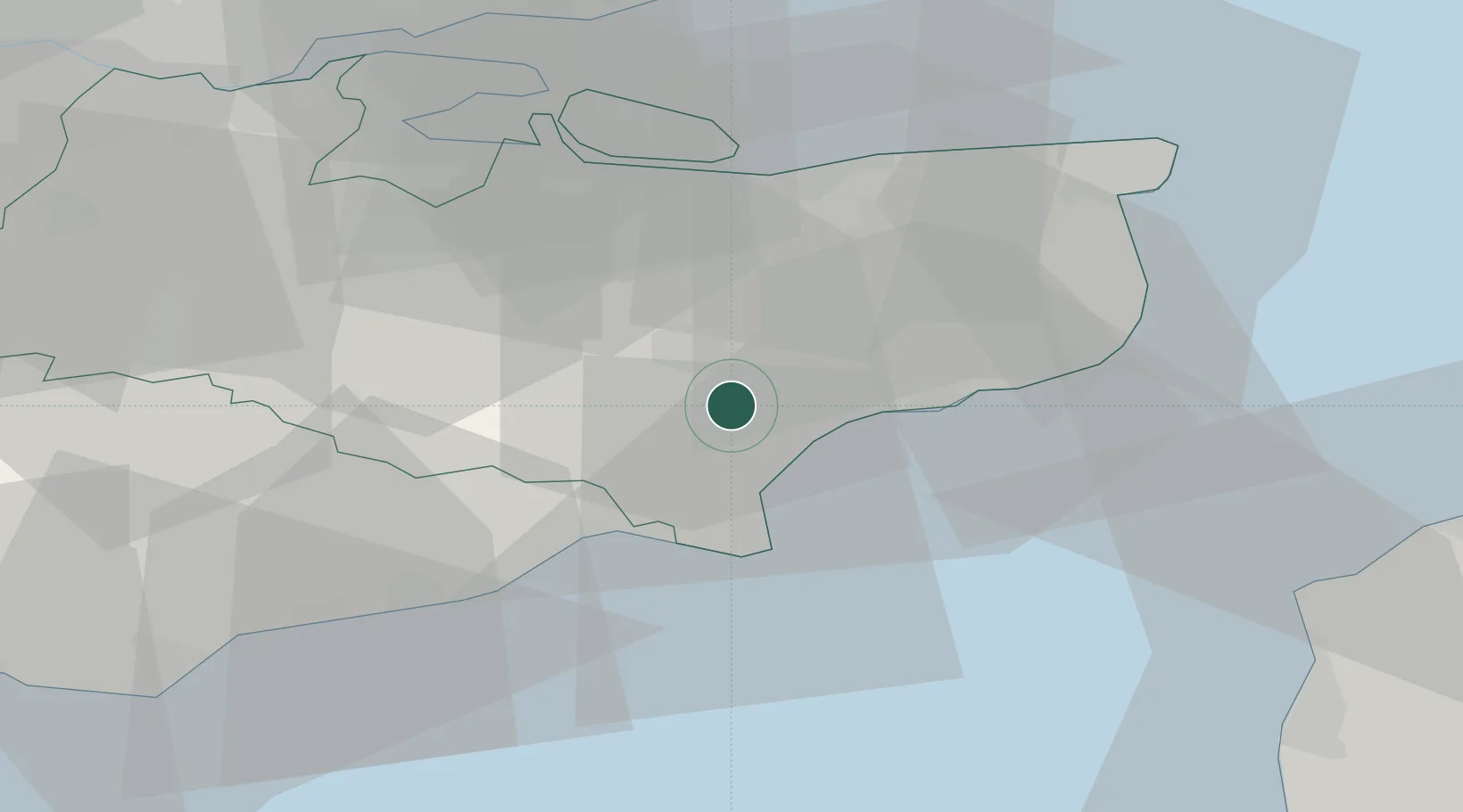
Location
Nearby Logistics Neighbours
Cities
- 1Sevington4 km
- 2Saint Marys Bay8 km
- 3Hythe11 km
- 4Wye11 km
- 5New Romney11 km
Ports
- 1Folkestone Harbour19 km
- 2Rye Harbour20 km
- 3Dover Harbor28 km
- 4Whitstable32 km
- 5Isle Of Grain42 km
Airports
- 1Lydd London Ashford Airport14 km
- 2London Southend Airport57 km
- 3London Biggin Hill Airport69 km
- 4Calais Marck Airport73 km
- 5London City Airport77 km
Trade Zones
DatabookThe Record of Consolidated Knowledge
United Kingdom beyond logistics?