Transport Functions
Port
Road
Hub Profile
Place type
Populated place
Region
England
Time zone
Europe/London
Elevation
52 m
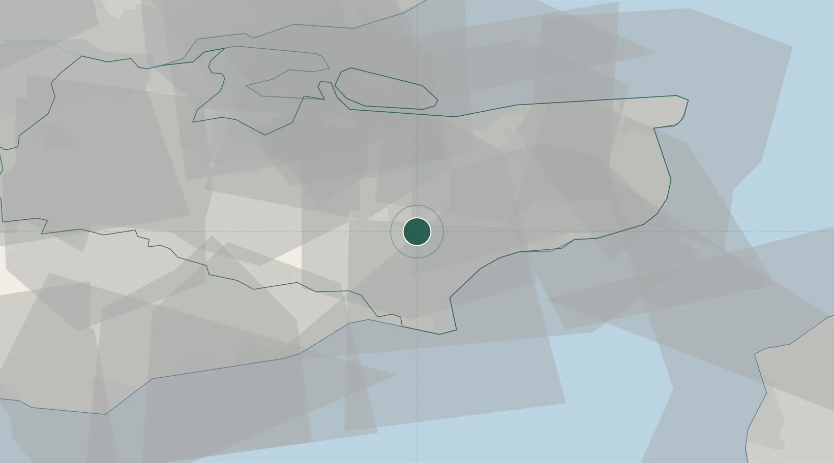
Location
Nearby Logistics Neighbours
Cities
- 1Aldington4 km
- 2Wye8 km
- 3Saint Marys Bay12 km
- 4Hythe14 km
- 5New Romney15 km
Ports
- 1Folkestone Harbour21 km
- 2Rye Harbour22 km
- 3Whitstable29 km
- 4Dover Harbor30 km
- 5Isle Of Grain38 km
Airports
- 1Lydd London Ashford Airport18 km
- 2London Southend Airport53 km
- 3London Biggin Hill Airport65 km
- 4London City Airport73 km
- 5Calais Marck Airport76 km
Trade Zones
DatabookThe Record of Consolidated Knowledge
United Kingdom beyond logistics?