Transport Functions
Port
Road
Hub Profile
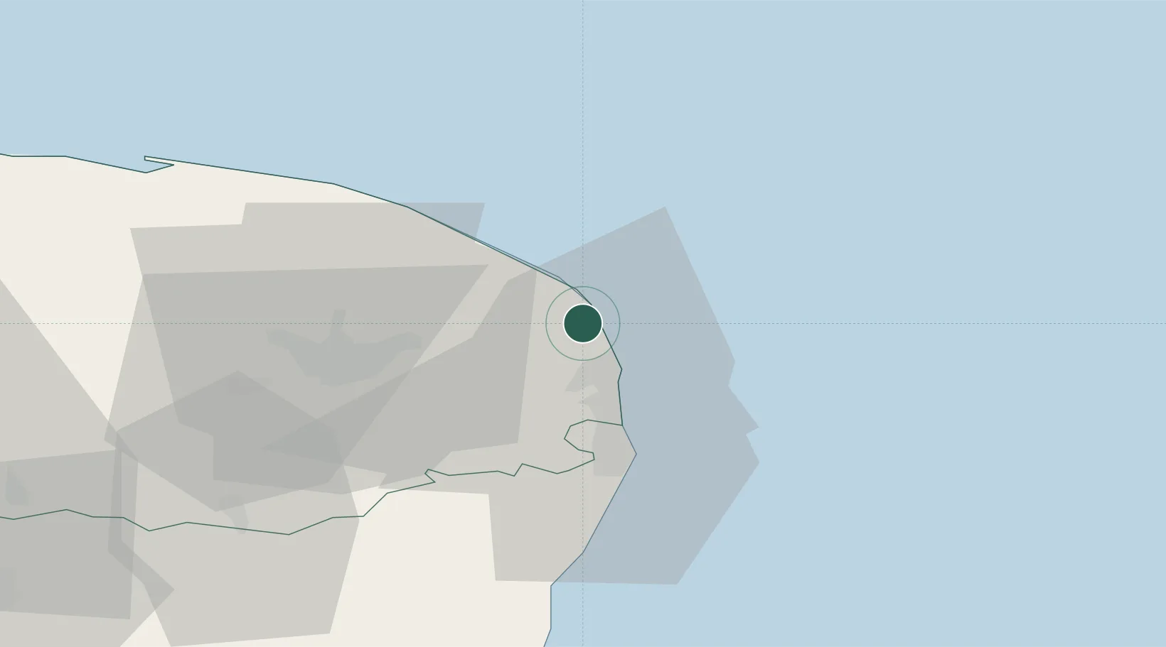
Place type
Populated place
Region
England
Population
5,522
Time zone
Europe/London
Elevation
9 m
Location
Nearby Logistics Neighbours
Cities
- 1Caister on Sea7 km
- 2Acle12 km
- 3Cantley18 km
- 4Tunstead18 km
- 5Reedham18 km
Ports
- 1Great Yarmouth10 km
- 2Lowestoft25 km
- 3Ipswich80 km
- 4King's Lynn87 km
- 5Felixstowe87 km
Airports
- 1Norwich Airport27 km
- 2RAF Honington73 km
- 3RAF Marham77 km
- 4Wattisham Airfield81 km
- 5RAF Lakenheath83 km
Trade Zones
DatabookThe Record of Consolidated Knowledge
United Kingdom beyond logistics?