UN/LOCODE hub · United Kingdom
GBCSC
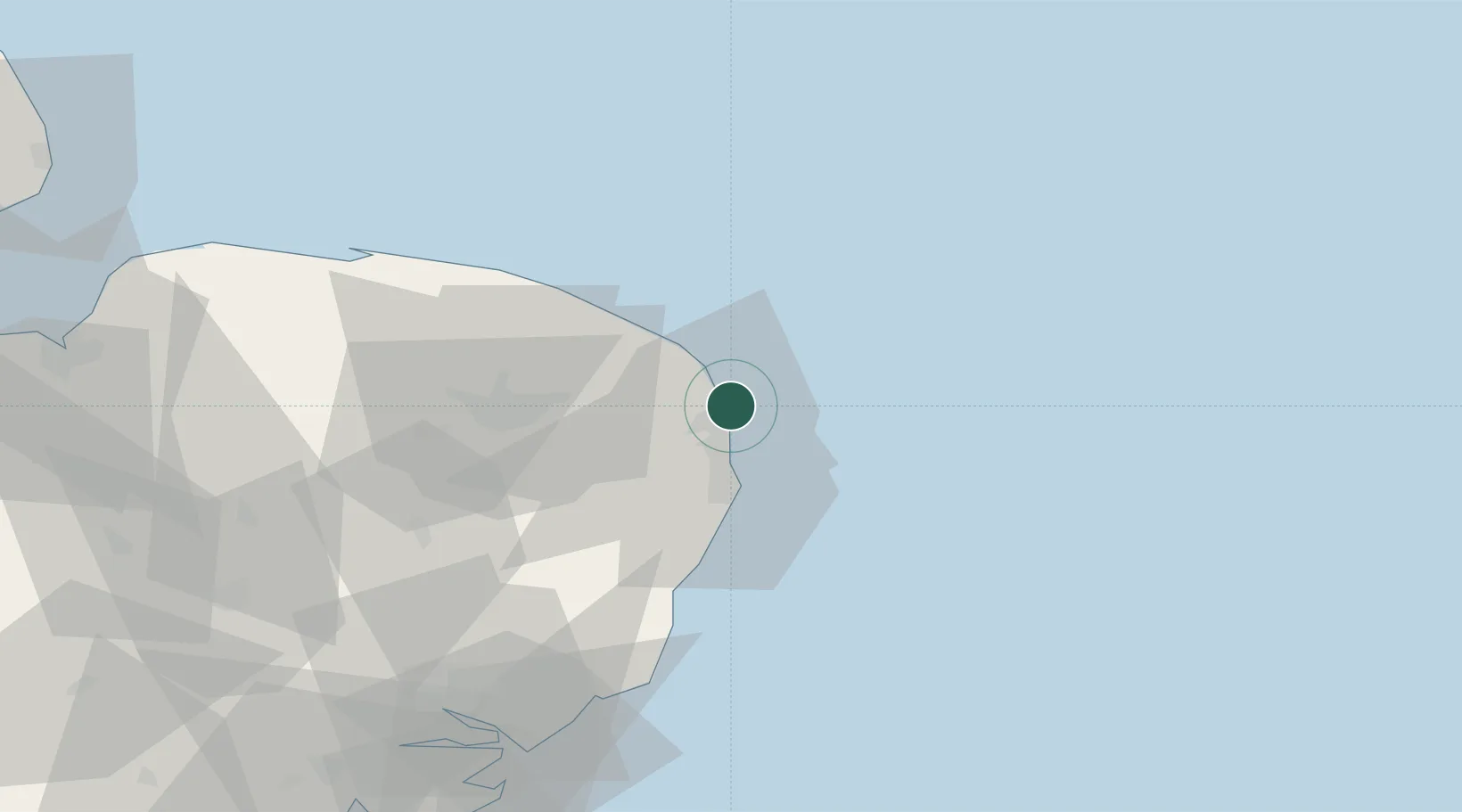
Caister on Sea
52.6500°, 1.7500°
8,901
Population
1
Transport functions
Transport Functions
Port
Hub Profile
Place type
Populated place
Region
England
Population
8,901
Time zone
Europe/London
Elevation
2 m
Location
Nearby Logistics Neighbours
Cities
- 1Hemsby7 km
- 2Acle14 km
- 3Reedham17 km
- 4Fressingfield18 km
- 5Cantley18 km
Ports
- 1Great Yarmouth4 km
- 2Lowestoft19 km
- 3Ipswich78 km
- 4Felixstowe83 km
- 5Harwich84 km
Airports
- 1Norwich Airport32 km
- 2RAF Honington75 km
- 3Wattisham Airfield79 km
- 4RAF Marham81 km
- 5RAF Lakenheath85 km
Trade Zones
DatabookThe Record of Consolidated Knowledge
United Kingdom beyond logistics?