Transport Functions
Port
Postal
Hub Profile
Place type
Populated place
Region
England
Population
41,709
Time zone
Europe/London
Elevation
12 m
Logistics facilities
1
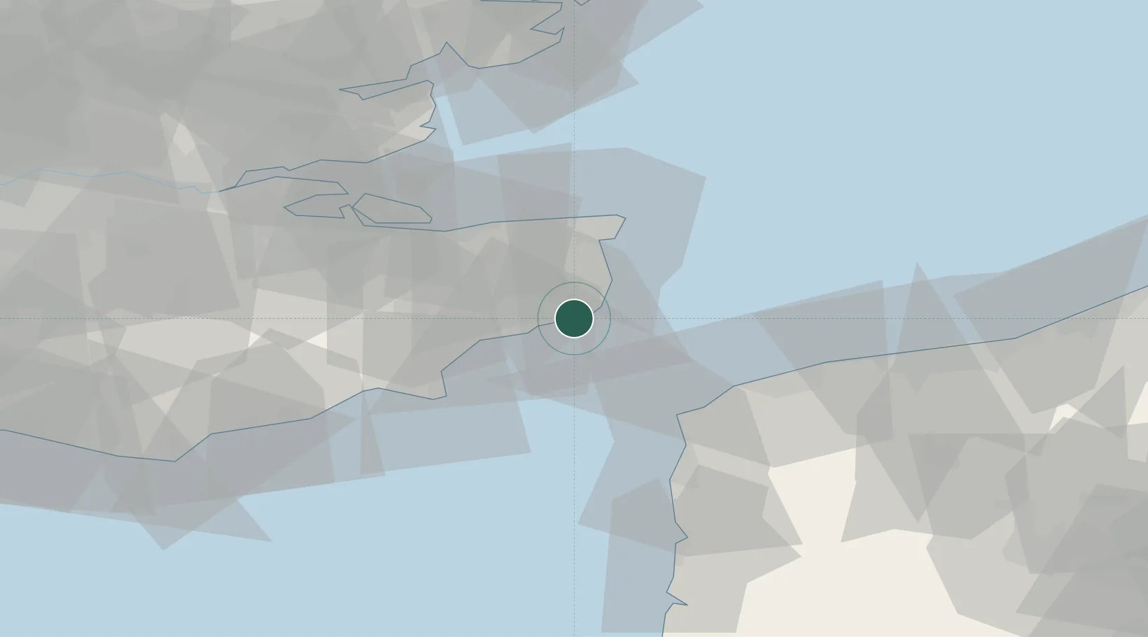
Location
Nearby Logistics Neighbours
Cities
- 1Folkestone12 km
- 2Aylesham14 km
- 3Sandwich16 km
- 4Hythe17 km
- 5Richborough18 km
Ports
- 1Folkestone Harbour9 km
- 2Ramsgate25 km
- 3Whitstable34 km
- 4Calais41 km
- 5Rye Harbour44 km
Airports
Trade Zones
DatabookThe Record of Consolidated Knowledge
United Kingdom beyond logistics?