Transport Functions
Rail
Road
Hub Profile
Place type
Populated place
Region
England
Population
3,793
Time zone
Europe/London
Elevation
77 m
Logistics facilities
1
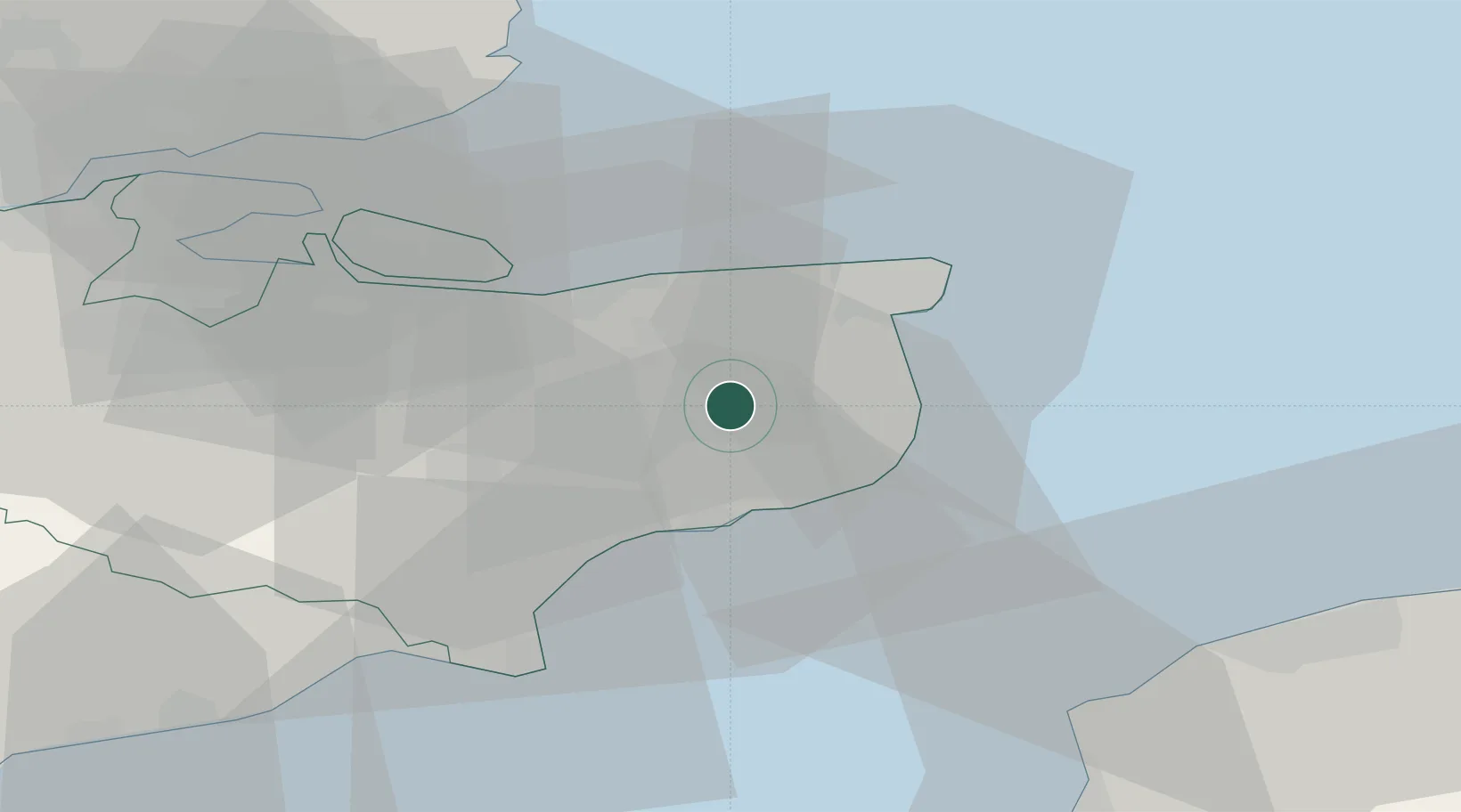
Location
Nearby Logistics Neighbours
Cities
- 1Littlebourne5 km
- 2Preston9 km
- 3Richborough12 km
- 4Sandwich12 km
- 5Chartham Hatch13 km
Ports
- 1Dover Harbor15 km
- 2Folkestone Harbour15 km
- 3Whitstable20 km
- 4Ramsgate20 km
- 5Sheerness40 km
Airports
Trade Zones
DatabookThe Record of Consolidated Knowledge
United Kingdom beyond logistics?