UN/LOCODE hub · United Kingdom
GBDED
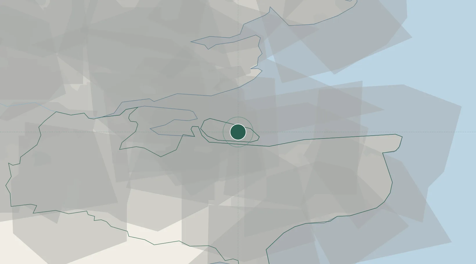
Eastchurch
51.4000°, 0.8667°
1,135
Population
1
Transport functions
Transport Functions
Multimodal
Hub Profile
Place type
Populated place
Region
England
Population
1,135
Time zone
Europe/London
Elevation
51 m
Location
Nearby Logistics Neighbours
Cities
- 1Isle of Sheppey4 km
- 2Faversham11 km
- 3Norton12 km
- 4Grovehurst Jetty/Sittingbourne12 km
- 5Isle of Grain13 km
Ports
- 1Sheerness10 km
- 2Isle Of Grain12 km
- 3Thamesport12 km
- 4Whitstable12 km
- 5Chatham Docks22 km
Airports
- 1London Southend Airport22 km
- 2Lydd London Ashford Airport50 km
- 3London City Airport57 km
- 4London Biggin Hill Airport58 km
- 5London Stansted Airport69 km
Trade Zones
DatabookThe Record of Consolidated Knowledge
United Kingdom beyond logistics?