UN/LOCODE hub · United Kingdom
GBIOS

Isle of Sheppey

51.4000°, 0.8167°
1
Transport functions

Transport Functions

Port
UN/LOCODE

Hub Profile

Region
KEN
GeoNames

Location

Location of GBIOS
Natural Earth 10m (public domain) · KEN · GBIOS · 51.40, 0.82GoogleOSMYandex

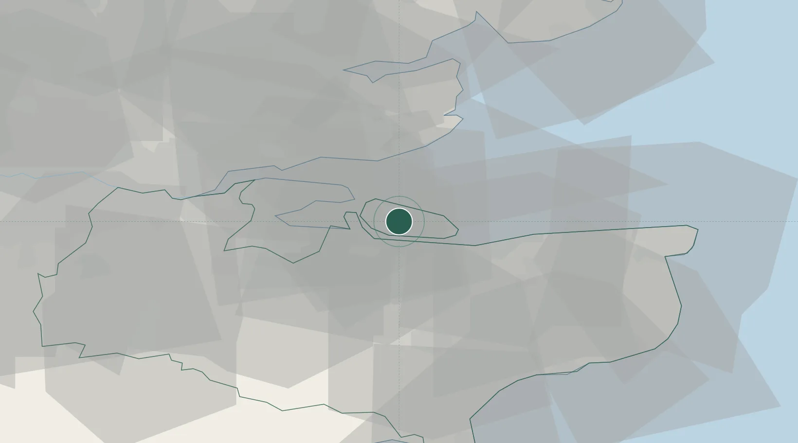
Nearby Logistics Neighbours

Cities
  1. 1Eastchurch4 km
  2. 2Grovehurst Jetty/Sittingbourne9 km
  3. 3Isle of Grain10 km
  4. 4Norton11 km
  5. 5Faversham14 km
Nearest neighbours — logibook spatial index (haversine) over the source coordinates
Ports
  1. 1Sheerness7 km
  2. 2Isle Of Grain9 km
  3. 3Thamesport9 km
  4. 4Whitstable16 km
  5. 5Chatham Docks19 km
Nearest neighbours — logibook spatial index (haversine) over the source coordinates
Airports
  1. 1London Southend Airport21 km
  2. 2Lydd London Ashford Airport50 km
  3. 3London City Airport54 km
  4. 4London Biggin Hill Airport55 km
  5. 5London Stansted Airport67 km
Nearest neighbours — logibook spatial index (haversine) over the source coordinates
Trade Zones
  1. 1Port of Sheerness Free Zone7 km
  2. 2Port of Tilbury Free Zone33 km
  3. 3Discovery Park - Sandwich Enterprise Zone39 km
  4. 4London Royal Docks Enterprise Zone57 km
  5. 5Harlow Enterprise Zone65 km
Nearest neighbours — logibook spatial index (haversine) over the source coordinates
DatabookThe Record of Consolidated Knowledge
United Kingdom beyond logistics?
Browse databook

All Sources

LocationsUN/LOCODE
UN/LOCODE — free
Portsthe NGA World Port Index
Public domain (US gov)
AirportsOurAirports
Public domain
Trade Zonesthe World Bank SEZ database
CC BY 4.0
Trade ZonesOpen Zone Map
CC BY
← United Kingdom locations