Transport Functions
Multimodal
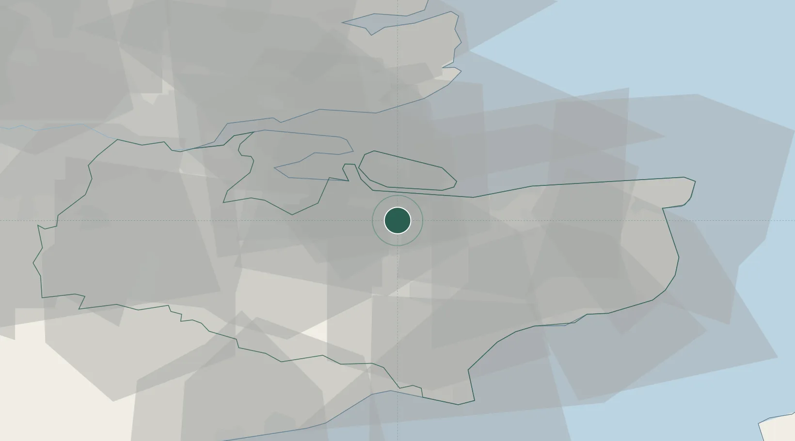
Hub Profile
Place type
Populated place
Region
England
Time zone
Europe/London
Elevation
46 m
Location
Nearby Logistics Neighbours
Cities
- 1Grovehurst Jetty/Sittingbourne7 km
- 2Isle of Sheppey11 km
- 3Eastchurch12 km
- 4Faversham12 km
- 5Chartham Hatch14 km
Ports
- 1Whitstable17 km
- 2Isle Of Grain17 km
- 3Thamesport17 km
- 4Sheerness17 km
- 5Chatham Docks22 km
Airports
- 1London Southend Airport31 km
- 2Lydd London Ashford Airport39 km
- 3London Biggin Hill Airport55 km
- 4London City Airport58 km
- 5London Gatwick Airport72 km
Trade Zones
DatabookThe Record of Consolidated Knowledge
United Kingdom beyond logistics?