UN/LOCODE hub · United Kingdom
GBFLK
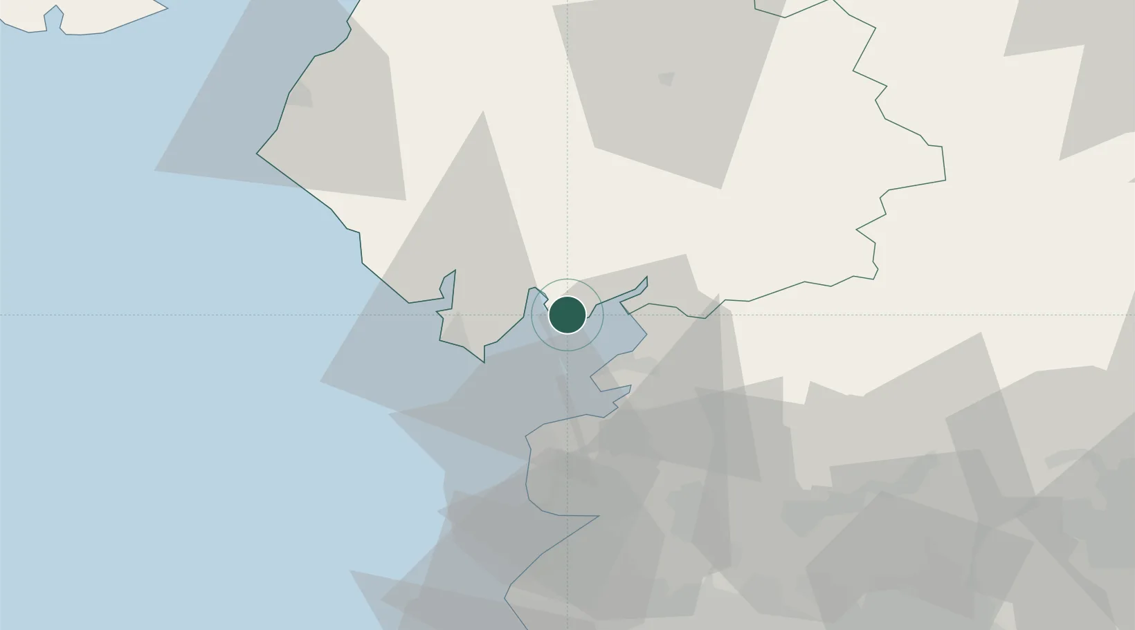
Flookburgh
54.1667°, -2.9667°
1,305
Population
1
Transport functions
Transport Functions
Port
Hub Profile
Place type
Populated place
Region
England
Population
1,305
Time zone
Europe/London
Elevation
16 m
Location
Nearby Logistics Neighbours
Ports
- 1Heysham15 km
- 2Lancaster18 km
- 3Barrow In Furness18 km
- 4Fleetwood28 km
- 5Workington62 km
Airports
- 1Barrow Walney Island Airport20 km
- 2Blackpool Airport44 km
- 3Warton Aerodrome47 km
- 4Carlisle Lake District Airport86 km
- 5Leeds Bradford Airport92 km
Trade Zones
DatabookThe Record of Consolidated Knowledge
United Kingdom beyond logistics?