UN/LOCODE hub · United Kingdom
GBBDZ

Bardsea

54.1500°, -3.0667°
1
Transport functions

Transport Functions

Port
UN/LOCODE

Hub Profile

Place type
Populated place
GeoNames
Region
England
GeoNames
Time zone
Europe/London
GeoNames
Elevation
26 m
GeoNames

Location

Location of GBBDZ
Natural Earth 10m (public domain) · England · GBBDZ · 54.15, -3.07GoogleOSMYandex

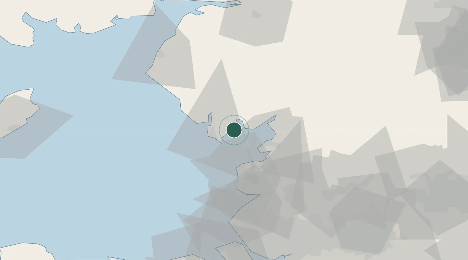
Nearby Logistics Neighbours

Cities
  1. 1Flookburgh7 km
  2. 2Barrow in Furness12 km
  3. 3Broughton In Furness16 km
  4. 4Sheildaig19 km
  5. 5Hest Bank19 km
Nearest neighbours — logibook spatial index (haversine) over the source coordinates
Ports
  1. 1Barrow In Furness12 km
  2. 2Heysham16 km
  3. 3Lancaster22 km
  4. 4Fleetwood26 km
  5. 5Workington59 km
Nearest neighbours — logibook spatial index (haversine) over the source coordinates
Airports
  1. 1Barrow Walney Island Airport13 km
  2. 2Blackpool Airport42 km
  3. 3Warton Aerodrome47 km
  4. 4Carlisle Lake District Airport89 km
  5. 5Liverpool John Lennon Airport92 km
Nearest neighbours — logibook spatial index (haversine) over the source coordinates
Trade Zones
  1. 1Hillhouse Enterprise Zone42 km
  2. 2Blackpool Enterprise Zone42 km
  3. 3Lancashire Enterprise Zone48 km
  4. 4Liverpool Free Zone77 km
  5. 5Mersey Waters Enterprise Zone83 km
Nearest neighbours — logibook spatial index (haversine) over the source coordinates
DatabookThe Record of Consolidated Knowledge
United Kingdom beyond logistics?
Browse databook

All Sources

LocationsUN/LOCODE
UN/LOCODE — free
Portsthe NGA World Port Index
Public domain (US gov)
AirportsOurAirports
Public domain
Trade Zonesthe World Bank SEZ database
CC BY 4.0
Trade ZonesOpen Zone Map
CC BY
← United Kingdom locations