Transport Functions
Road
Multimodal
Hub Profile
Place type
Populated place
Region
England
Time zone
Europe/London
Elevation
109 m
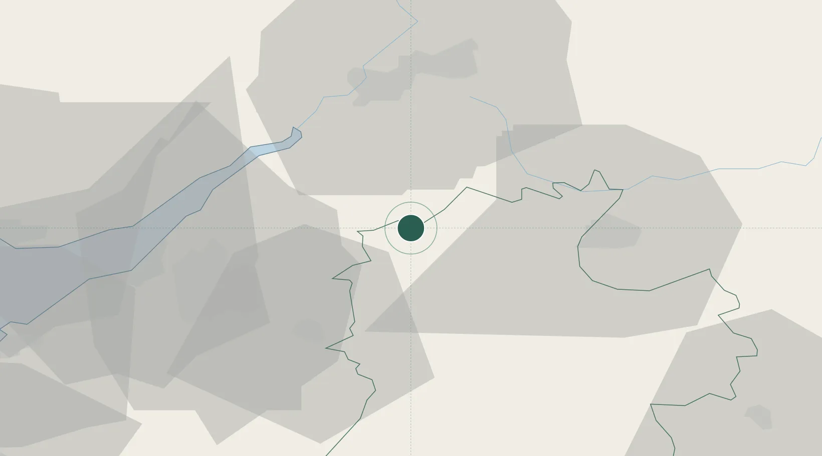
Location
Nearby Logistics Neighbours
Cities
- 1Badminton10 km
- 2Acton Turville10 km
- 3Kemble14 km
- 4Woodchester16 km
- 5Hawthorn19 km
Airports
- 1RAF Fairford28 km
- 2Gloucestershire Airport35 km
- 3Bristol Airport44 km
- 4RAF Brize Norton44 km
- 5MoD Boscombe Down56 km
Trade Zones
DatabookThe Record of Consolidated Knowledge
United Kingdom beyond logistics?