Transport Functions
Port
Multimodal
Hub Profile
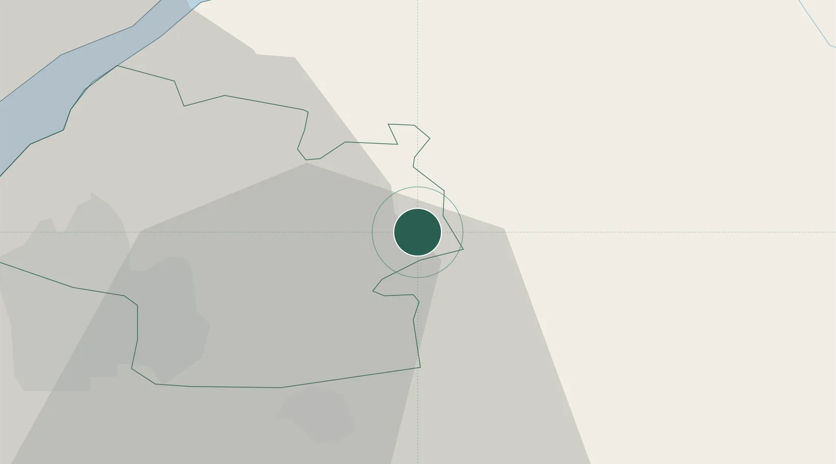
Place type
Populated place
Region
England
Population
271
Time zone
Europe/London
Elevation
124 m
Location
Nearby Logistics Neighbours
Cities
- 1Acton Turville2 km
- 2Easton Grey10 km
- 3Westerleigh10 km
- 4Pucklechurch12 km
- 5Bagstone13 km
Airports
- 1Bristol Airport34 km
- 2RAF Fairford38 km
- 3Gloucestershire Airport41 km
- 4RAF Brize Norton54 km
- 5MoD Boscombe Down56 km
Trade Zones
DatabookThe Record of Consolidated Knowledge
United Kingdom beyond logistics?