Transport Functions
Rail
Road
Hub Profile
Place type
Populated place
Region
England
Time zone
Europe/London
Elevation
65 m
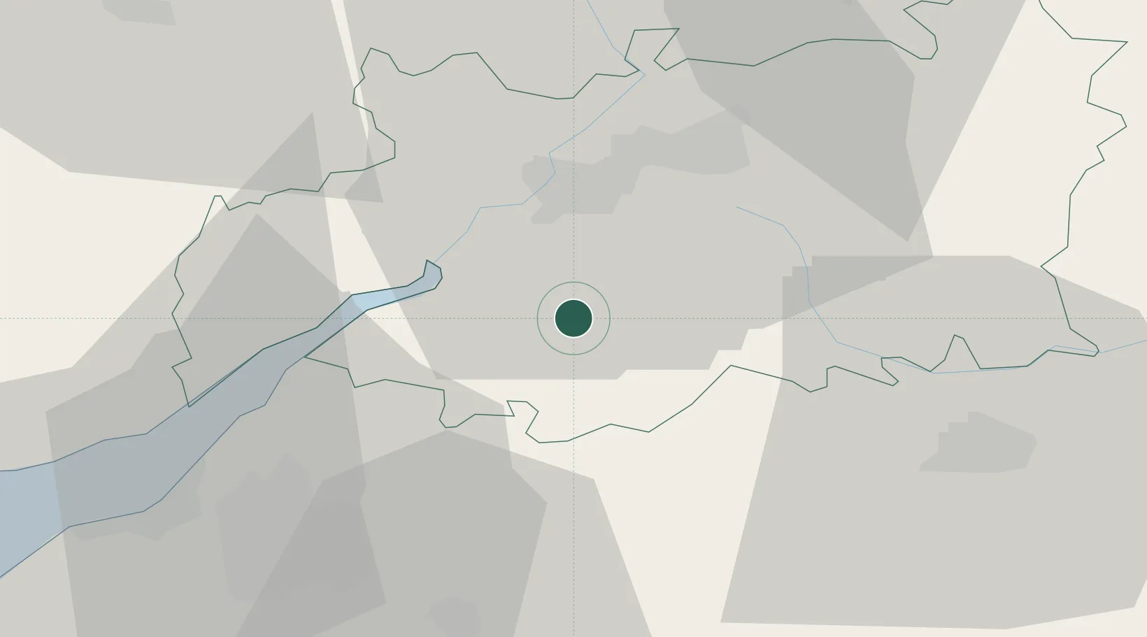
Location
Nearby Logistics Neighbours
Cities
- 1Quedgeley12 km
- 2Miserden12 km
- 3Easton Grey16 km
- 4Kemble16 km
- 5Westbury on Severn17 km
Airports
- 1Gloucestershire Airport20 km
- 2RAF Fairford31 km
- 3RAF Brize Norton45 km
- 4Bristol Airport50 km
- 5London Oxford Airport64 km
Trade Zones
DatabookThe Record of Consolidated Knowledge
United Kingdom beyond logistics?