Transport Functions
Rail
Road
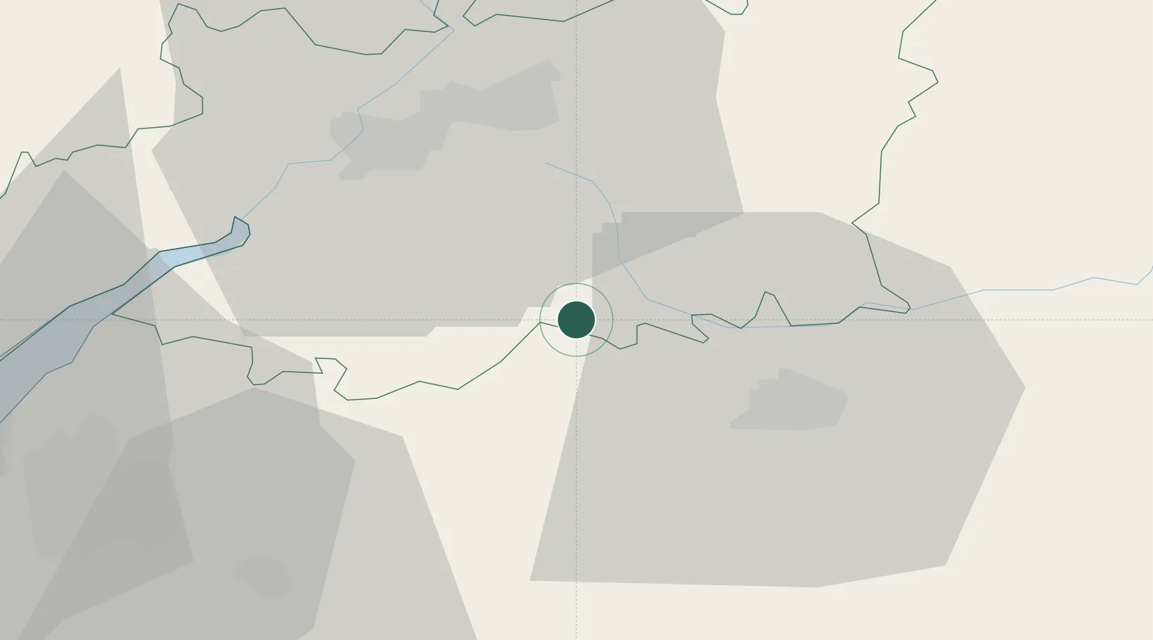
Hub Profile
Place type
Local administrative seat
Region
England
Population
779
Time zone
Europe/London
Elevation
111 m
Location
Nearby Logistics Neighbours
Cities
- 1Poulton12 km
- 2Easton Grey14 km
- 3Purton14 km
- 4Miserden14 km
- 5Arlington16 km
Airports
- 1RAF Fairford16 km
- 2Gloucestershire Airport27 km
- 3RAF Brize Norton31 km
- 4London Oxford Airport52 km
- 5Bristol Airport58 km
Trade Zones
DatabookThe Record of Consolidated Knowledge
United Kingdom beyond logistics?