UN/LOCODE hub · United Kingdom
GBATL
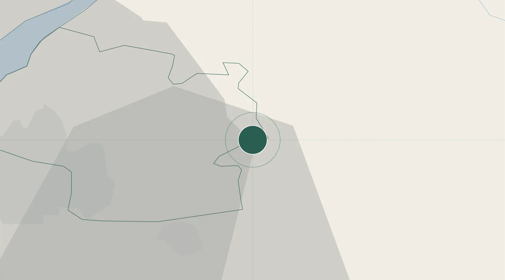
Acton Turville
51.5167°, -2.2667°
370
Population
2
Transport functions
Transport Functions
Road
Multimodal
Hub Profile
Place type
Populated place
Region
England
Population
370
Time zone
Europe/London
Elevation
129 m
Location
Nearby Logistics Neighbours
Cities
- 1Badminton2 km
- 2Easton Grey10 km
- 3Westerleigh11 km
- 4Pucklechurch12 km
- 5Hawthorn13 km
Airports
- 1Bristol Airport35 km
- 2RAF Fairford38 km
- 3Gloucestershire Airport43 km
- 4RAF Brize Norton54 km
- 5MoD Boscombe Down54 km
Trade Zones
DatabookThe Record of Consolidated Knowledge
United Kingdom beyond logistics?