Transport Functions
Rail
Road
Hub Profile
Place type
Populated place
Region
England
Time zone
Europe/London
Elevation
142 m
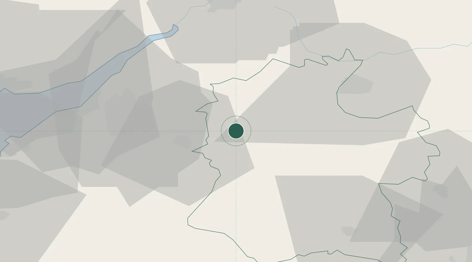
Location
Nearby Logistics Neighbours
Cities
- 1Bathford7 km
- 2Staverton8 km
- 3Acton Turville13 km
- 4Bath13 km
- 5Badminton15 km
Airports
- 1Bristol Airport37 km
- 2RAF Fairford40 km
- 3MoD Boscombe Down42 km
- 4Gloucestershire Airport53 km
- 5RNAS Yeovilton55 km
Trade Zones
DatabookThe Record of Consolidated Knowledge
United Kingdom beyond logistics?