Transport Functions
Port
Road
Hub Profile
Place type
Populated place
Region
Scotland
Time zone
Europe/London
Elevation
35 m
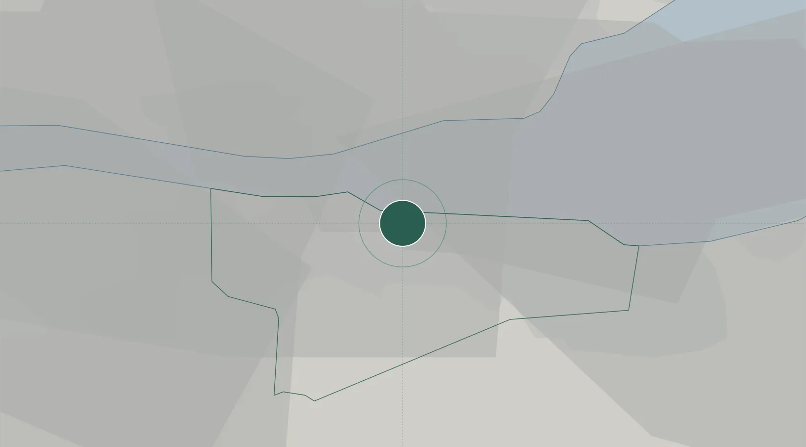
Location
Nearby Logistics Neighbours
Cities
- 1Granton4 km
- 2Edinburgh6 km
- 3Newhaven/Edinburgh7 km
- 4Hound Point8 km
- 5South Queensferry8 km
Ports
- 1Granton5 km
- 2Hound Point Terminal6 km
- 3Leith7 km
- 4Braefoot Bay Terminal8 km
- 5Burntisland10 km
Airports
- 1Edinburgh Airport6 km
- 2Leuchars Station Airfield52 km
- 3Dundee Airport56 km
- 4Glasgow Airport72 km
- 5Glasgow Prestwick Airport96 km
Trade Zones
DatabookThe Record of Consolidated Knowledge
United Kingdom beyond logistics?