UN/LOCODE hub · United Kingdom
GBHPT

Hound Point

56.0333°, -3.3000°
1
Transport functions

Transport Functions

Port
Hound Point is also a profiled seaport →
UN/LOCODE

Hub Profile

Region
FIF
GeoNames

Location

Location of GBHPT
Natural Earth 10m (public domain) · FIF · GBHPT · 56.03, -3.30GoogleOSMYandex

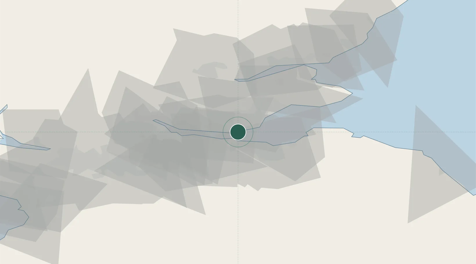
Nearby Logistics Neighbours

Cities
  1. 1Aberdour2 km
  2. 2Braefoot Bay2 km
  3. 3Dalgety Bay3 km
  4. 4Burntisland6 km
  5. 5Mossmoran6 km
Nearest neighbours — logibook spatial index (haversine) over the source coordinates
Ports
  1. 1Braefoot Bay Terminal1 km
  2. 2Burntisland5 km
  3. 3Granton8 km
  4. 4Rosyth9 km
  5. 5Leith9 km
Nearest neighbours — logibook spatial index (haversine) over the source coordinates
Airports
  1. 1Edinburgh Airport10 km
  2. 2Leuchars Station Airfield46 km
  3. 3Dundee Airport50 km
  4. 4Glasgow Airport73 km
  5. 5Glasgow Prestwick Airport99 km
Nearest neighbours — logibook spatial index (haversine) over the source coordinates
Trade Zones
  1. 1Prestwick Airport Free Zone101 km
  2. 2Carlisle Kingmoor Park Enterprise Zone124 km
  3. 3North Eastern Enterprise Zone159 km
  4. 4Tees Valley Enterprise Zone208 km
  5. 5Isle of Man Free Zone and Business Park232 km
Nearest neighbours — logibook spatial index (haversine) over the source coordinates
DatabookThe Record of Consolidated Knowledge
United Kingdom beyond logistics?
Browse databook

All Sources

LocationsUN/LOCODE
UN/LOCODE — free
Portsthe NGA World Port Index
Public domain (US gov)
AirportsOurAirports
Public domain
Trade Zonesthe World Bank SEZ database
CC BY 4.0
Trade ZonesOpen Zone Map
CC BY
← United Kingdom locations