Transport Functions
Port
Rail
Road
Hub Profile
Region
EDH
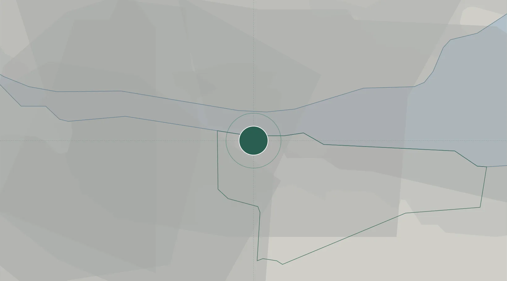
Location
Nearby Logistics Neighbours
Cities
- 1Port Edgar1 km
- 2Inverkeithing4 km
- 3North Queensferry4 km
- 4Rosyth6 km
- 5Dalgety Bay6 km
Ports
- 1Hound Point Terminal3 km
- 2Rosyth4 km
- 3Braefoot Bay Terminal8 km
- 4Granton11 km
- 5Burntisland13 km
Airports
- 1Edinburgh Airport4 km
- 2Leuchars Station Airfield55 km
- 3Dundee Airport57 km
- 4Glasgow Airport66 km
- 5Glasgow Prestwick Airport91 km
Trade Zones
DatabookThe Record of Consolidated Knowledge
United Kingdom beyond logistics?