Transport Functions
Port
Rail
Road
Hub Profile
Region
EDH
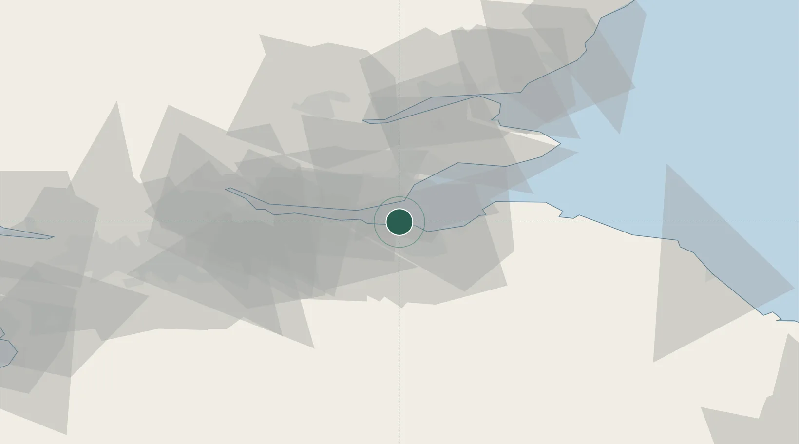
Location
Nearby Logistics Neighbours
Cities
- 1Granton3 km
- 2Leith4 km
- 3Edinburgh4 km
- 4Cramond7 km
- 5Danderhall9 km
Ports
- 1Leith0 km
- 2Granton2 km
- 3Burntisland8 km
- 4Braefoot Bay Terminal10 km
- 5Hound Point Terminal12 km
Airports
- 1Edinburgh Airport12 km
- 2Leuchars Station Airfield48 km
- 3Dundee Airport53 km
- 4Glasgow Airport79 km
- 5Glasgow Prestwick Airport102 km
Trade Zones
DatabookThe Record of Consolidated Knowledge
United Kingdom beyond logistics?