UN/LOCODE hub · United Kingdom
GBEDI
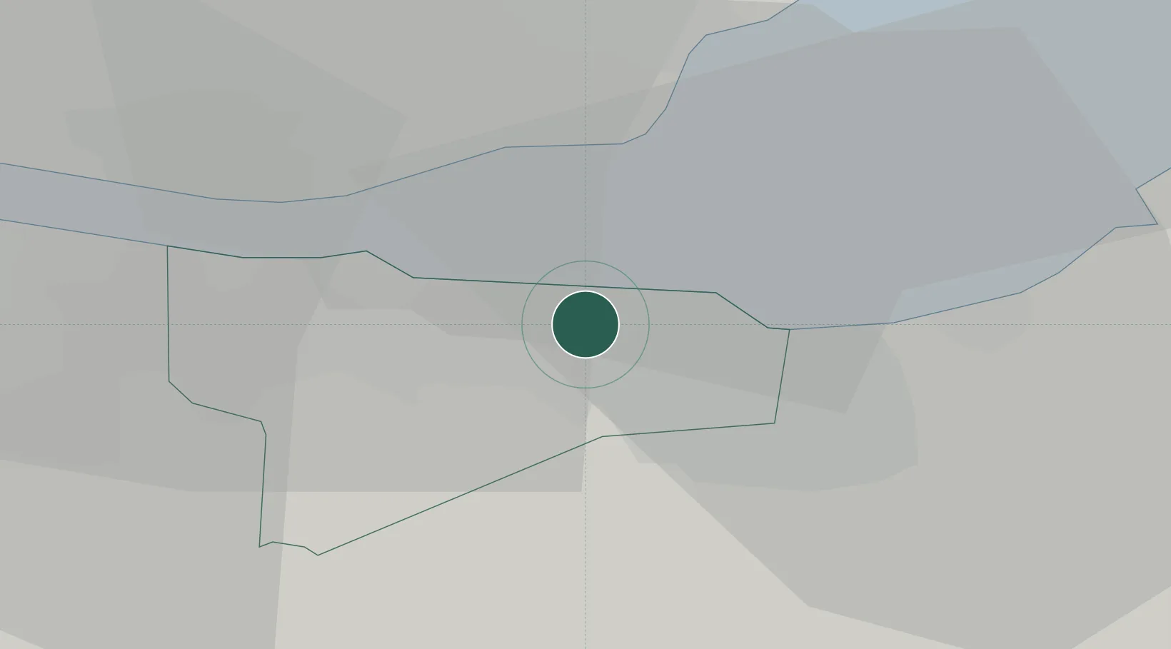
Edinburgh
55.9500°, -3.2000°
514,990
Population
2
Transport functions
Transport Functions
Port
Airport
Hub Profile
Place type
Regional capital
Region
Scotland
Population
514,990
Time zone
Europe/London
Elevation
66 m
Location
Nearby Logistics Neighbours
Cities
- 1Leith2 km
- 2Granton2 km
- 3Newhaven/Edinburgh4 km
- 4Cramond6 km
- 5Danderhall7 km
Ports
- 1Leith4 km
- 2Granton4 km
- 3Burntisland11 km
- 4Hound Point Terminal12 km
- 5Braefoot Bay Terminal12 km
Airports
- 1Edinburgh Airport11 km
- 2Leuchars Station Airfield51 km
- 3Dundee Airport57 km
- 4Glasgow Airport77 km
- 5Glasgow Prestwick Airport100 km
Trade Zones
DatabookThe Record of Consolidated Knowledge
United Kingdom beyond logistics?