Transport Functions
Port
Road
Multimodal
Hub Profile
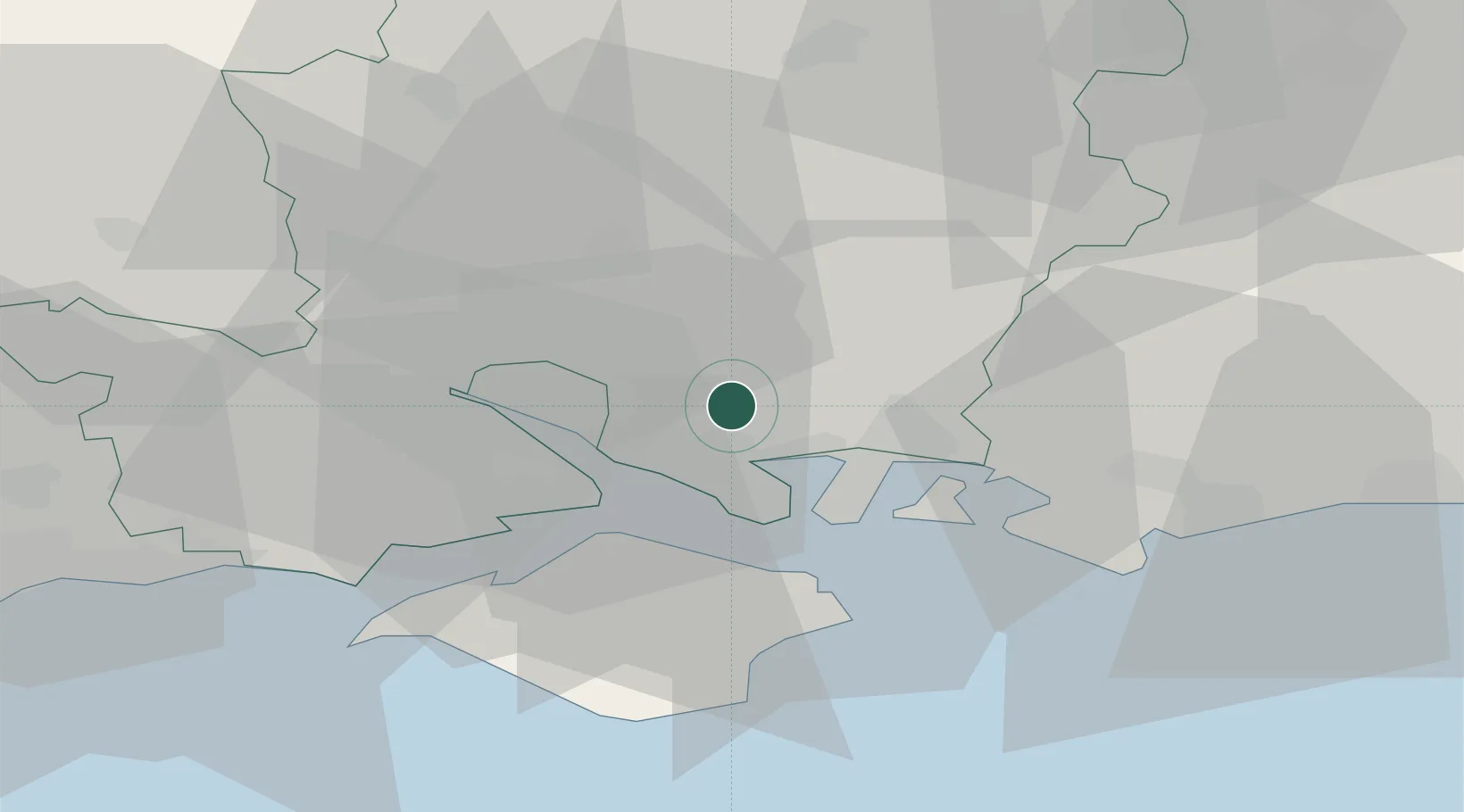
Place type
Populated place
Region
England
Population
2,060
Time zone
Europe/London
Elevation
25 m
Location
Nearby Logistics Neighbours
Cities
- 1Burridge5 km
- 2Droxford7 km
- 3Park Gate7 km
- 4Portsmouth12 km
- 5Clanfield13 km
Ports
- 1Portsmouth Harbour13 km
- 2Fawley Marine Terminal14 km
- 3Southampton15 km
- 4Cowes Harbour17 km
- 5Yarmouth Harbour32 km
Airports
- 1Southampton Airport13 km
- 2Lasham Airfield34 km
- 3RAF Odiham41 km
- 4Bournemouth Airport48 km
- 5MoD Boscombe Down48 km
Trade Zones
DatabookThe Record of Consolidated Knowledge
United Kingdom beyond logistics?