UN/LOCODE hub · United Kingdom
GBCHT
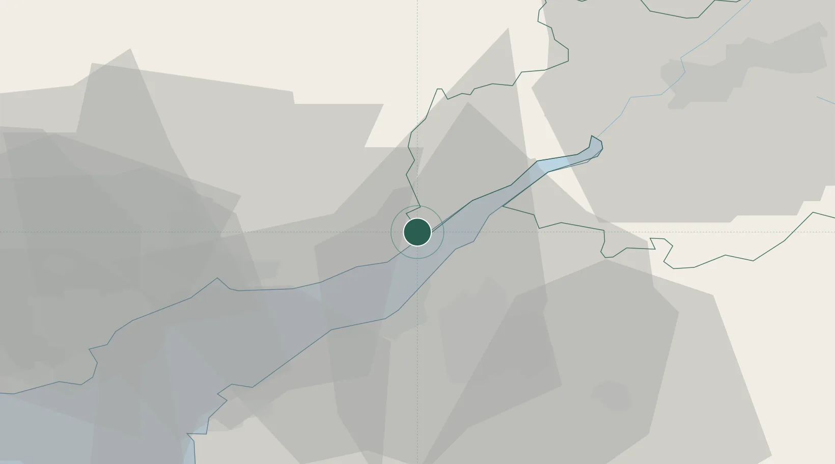
Chepstow
51.6333°, -2.6667°
16,169
Population
1
Transport functions
Transport Functions
Port
Hub Profile
Place type
Populated place
Region
Wales
Population
16,169
Time zone
Europe/London
Elevation
45 m
Location
Nearby Logistics Neighbours
Cities
- 1Crick6 km
- 2Woolaston9 km
- 3Bradley Stoke14 km
- 4Lydney14 km
- 5Avonmouth14 km
Airports
- 1Bristol Airport28 km
- 2Gloucestershire Airport45 km
- 3Cardiff International Airport54 km
- 4MOD St Athan59 km
- 5RAF Fairford61 km
Trade Zones
DatabookThe Record of Consolidated Knowledge
United Kingdom beyond logistics?