Transport Functions
Port
Road
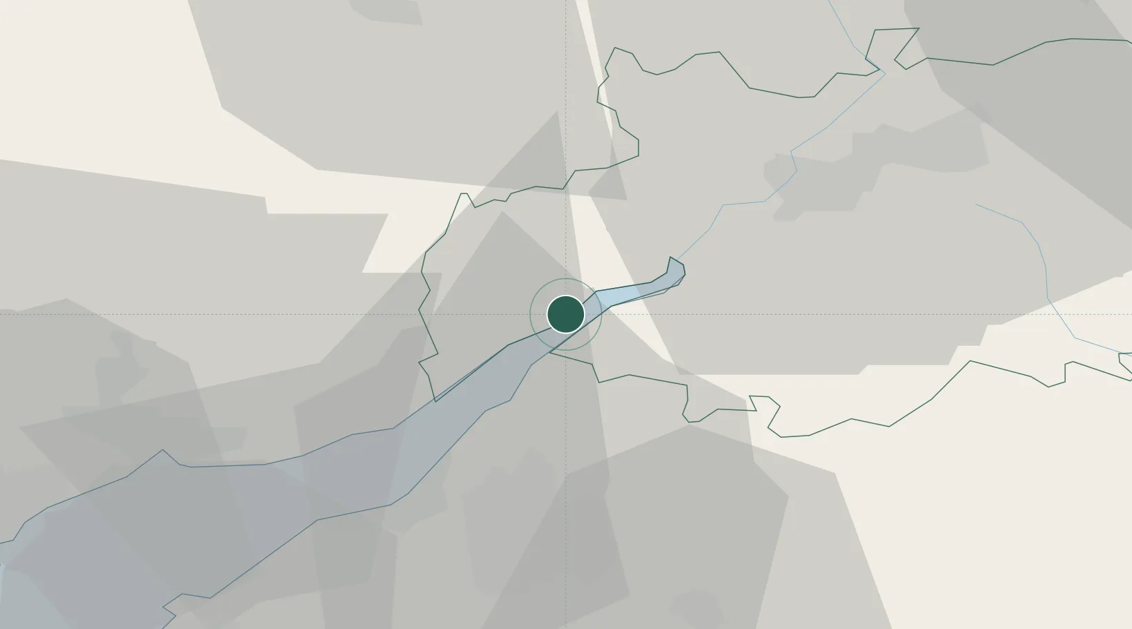
Hub Profile
Place type
Populated place
Region
England
Population
8,776
Time zone
Europe/London
Elevation
16 m
Location
Nearby Logistics Neighbours
Cities
- 1Woolaston6 km
- 2Westbury on Severn13 km
- 3Chepstow14 km
- 4Ruardean15 km
- 5Bagstone16 km
Airports
- 1Gloucestershire Airport31 km
- 2Bristol Airport40 km
- 3RAF Fairford50 km
- 4RAF Brize Norton64 km
- 5Cardiff International Airport67 km
Trade Zones
DatabookThe Record of Consolidated Knowledge
United Kingdom beyond logistics?