UN/LOCODE hub · United Kingdom
GBOSO

Woolaston

51.7000°, -2.6000°
820
Population
3
Transport functions

Transport Functions

Rail
Road
Multimodal
UN/LOCODE

Hub Profile

Place type
Populated place
GeoNames
Region
England
GeoNames
Population
820
GeoNames
Time zone
Europe/London
GeoNames
Elevation
41 m
GeoNames

Location

Location of GBOSO
Natural Earth 10m (public domain) · England · GBOSO · 51.70, -2.60GoogleOSMYandex

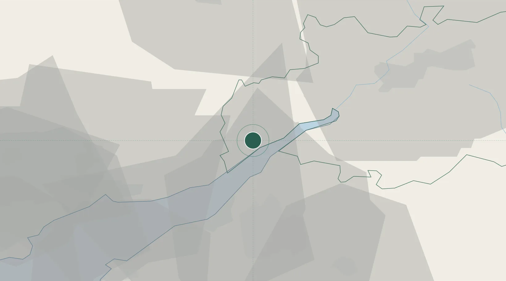
Nearby Logistics Neighbours

Cities
  1. 1Lydney6 km
  2. 2Chepstow9 km
  3. 3Crick14 km
  4. 4Bagstone17 km
  5. 5Ruardean17 km
Nearest neighbours — logibook spatial index (haversine) over the source coordinates
Ports
  1. 1Sharpness8 km
  2. 2Avonmouth24 km
  3. 3Bristol26 km
  4. 4Bird Port29 km
  5. 5Newport31 km
Nearest neighbours — logibook spatial index (haversine) over the source coordinates
Airports
  1. 1Bristol Airport36 km
  2. 2Gloucestershire Airport37 km
  3. 3RAF Fairford56 km
  4. 4Cardiff International Airport62 km
  5. 5MOD St Athan66 km
Nearest neighbours — logibook spatial index (haversine) over the source coordinates
Trade Zones
  1. 1Ceramics Valley18 km
  2. 2Bristol Temple Quarter Enterprise Zone28 km
  3. 3Hereford Enterprise Zone38 km
  4. 4Science Vale Oxfordshire Enterprise Zone91 km
  5. 5Birmingham City Centre Enterprise Zone99 km
Nearest neighbours — logibook spatial index (haversine) over the source coordinates
DatabookThe Record of Consolidated Knowledge
United Kingdom beyond logistics?
Browse databook

All Sources

LocationsUN/LOCODE
UN/LOCODE — free
LocationsGeoNames
CC BY 4.0
Portsthe NGA World Port Index
Public domain (US gov)
AirportsOurAirports
Public domain
Trade Zonesthe World Bank SEZ database
CC BY 4.0
Trade ZonesOpen Zone Map
CC BY
← United Kingdom locations