Transport Functions
Port
Hub Profile
Place type
Populated place
Region
England
Time zone
Europe/London
Elevation
7 m
Logistics facilities
1
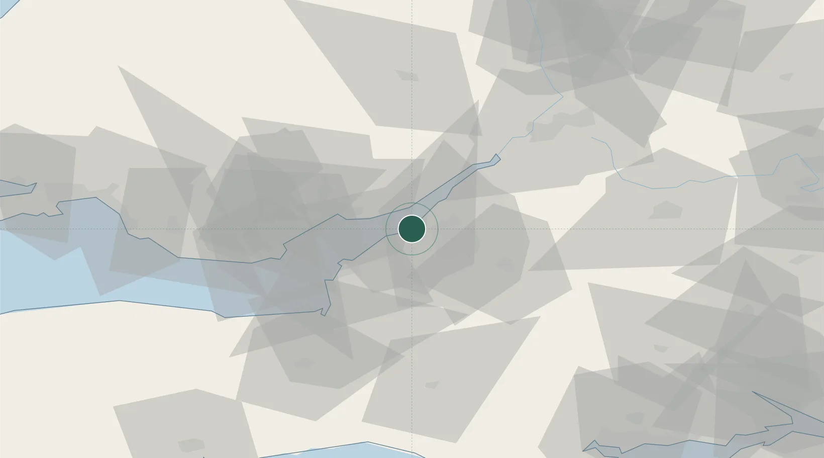
Location
Nearby Logistics Neighbours
Cities
- 1Portbury2 km
- 2Portishead5 km
- 3Redcliff Bay7 km
- 4Bristol9 km
- 5Crick10 km
Airports
- 1Bristol Airport14 km
- 2Cardiff International Airport46 km
- 3MOD St Athan52 km
- 4RNAS Yeovilton56 km
- 5Gloucestershire Airport57 km
Trade Zones
DatabookThe Record of Consolidated Knowledge
United Kingdom beyond logistics?