Transport Functions
Rail
Road
Multimodal
Hub Profile
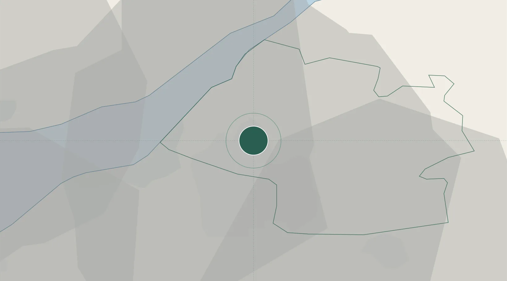
Place type
Populated place
Region
England
Time zone
Europe/London
Elevation
57 m
Location
Nearby Logistics Neighbours
Cities
- 1Emersons Green8 km
- 2Bagstone9 km
- 3Pucklechurch10 km
- 4Westerleigh10 km
- 5Avonmouth11 km
Airports
- 1Bristol Airport20 km
- 2Gloucestershire Airport48 km
- 3RAF Fairford55 km
- 4Cardiff International Airport57 km
- 5RNAS Yeovilton59 km
Trade Zones
DatabookThe Record of Consolidated Knowledge
United Kingdom beyond logistics?