Transport Functions
Multimodal
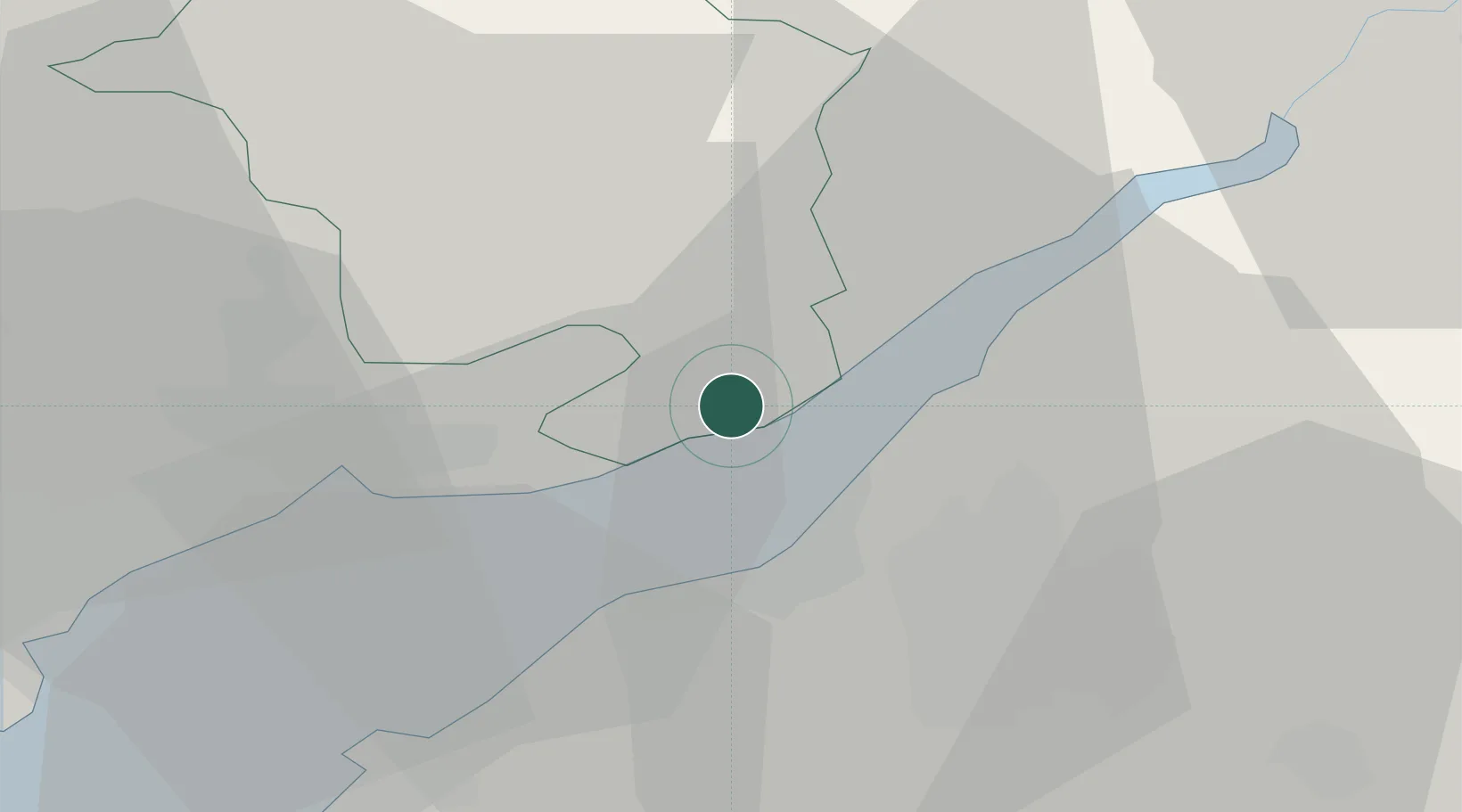
Hub Profile
Place type
Populated place
Region
Wales
Time zone
Europe/London
Elevation
13 m
Location
Nearby Logistics Neighbours
Cities
- 1Chepstow6 km
- 2Avonmouth10 km
- 3Portbury12 km
- 4Portishead13 km
- 5Woolaston14 km
Airports
- 1Bristol Airport24 km
- 2Cardiff International Airport48 km
- 3Gloucestershire Airport51 km
- 4MOD St Athan53 km
- 5RAF Fairford66 km
Trade Zones
DatabookThe Record of Consolidated Knowledge
United Kingdom beyond logistics?