UN/LOCODE hub · United Kingdom
GBABA
Aberaeron
52.2500°, -4.2500°
1,422
Population
2
Transport functions
Transport Functions
Port
Road
Hub Profile
Place type
Provincial seat
Region
Wales
Population
1,422
Time zone
Europe/London
Elevation
7 m
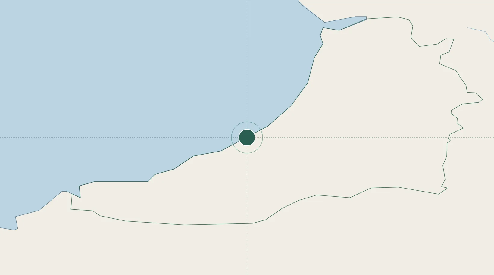
Location
Nearby Logistics Neighbours
Cities
- 1Ceinewydd (New Quay)9 km
- 2Bethania12 km
- 3Aberystwyth22 km
- 4Newcastle Emlyn28 km
- 5Cardigan (Aberteifi)33 km
Ports
- 1Fishguard56 km
- 2Swansea73 km
- 3Neath74 km
- 4Port Talbot80 km
- 5Milford Haven80 km
Airports
- 1Haverfordwest Airport67 km
- 2Swansea Airport73 km
- 3MOD St Athan109 km
- 4Anglesey Airport113 km
- 5Cardiff International Airport114 km
Trade Zones
- 1Hereford Enterprise Zone110 km
- 2Ceramics Valley118 km
- 3Cheshire Science Corridor144 km
- 4Bristol Temple Quarter Enterprise Zone145 km
- 5Black Country Enterprise Zone152 km
DatabookThe Record of Consolidated Knowledge
United Kingdom beyond logistics?