Transport Functions
Road
Multimodal
Hub Profile
Place type
Populated place
Region
Wales
Time zone
Europe/London
Elevation
267 m
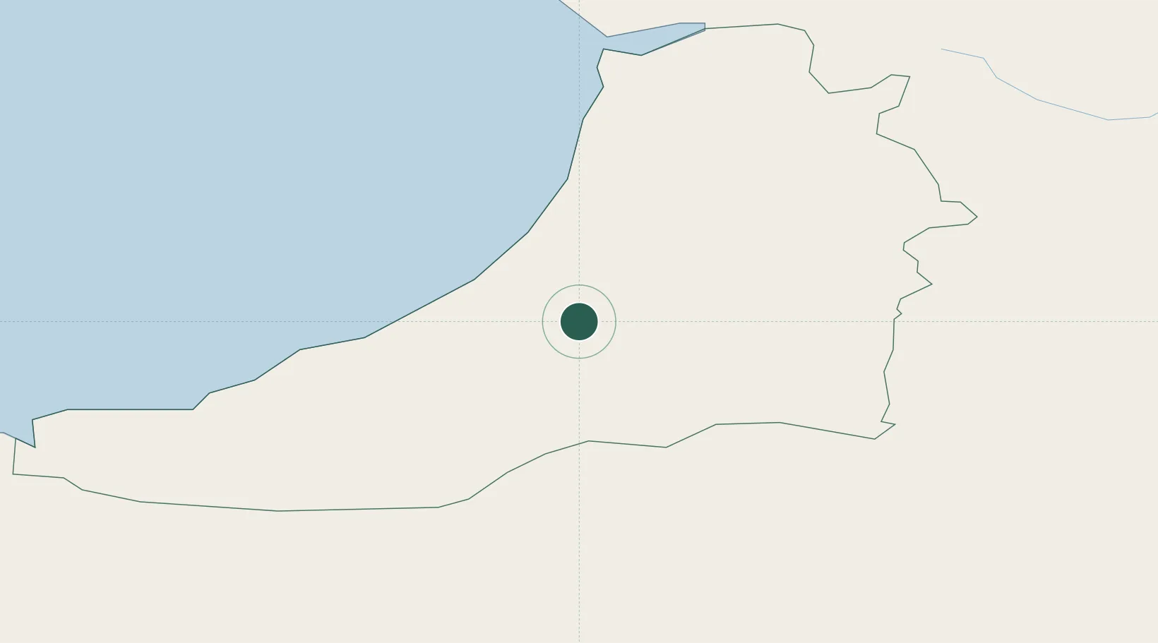
Location
Nearby Logistics Neighbours
Cities
- 1Aberaeron12 km
- 2Ceinewydd (New Quay)19 km
- 3Aberystwyth20 km
- 4Aberdovey33 km
- 5Newcastle Emlyn34 km
Ports
- 1Fishguard66 km
- 2Neath69 km
- 3Swansea69 km
- 4Port Talbot75 km
- 5Milford Haven87 km
Airports
- 1Swansea Airport70 km
- 2Haverfordwest Airport75 km
- 3MOD St Athan102 km
- 4Cardiff International Airport106 km
- 5RAF Shawbury115 km
Trade Zones
- 1Hereford Enterprise Zone98 km
- 2Ceramics Valley107 km
- 3Bristol Temple Quarter Enterprise Zone135 km
- 4Cheshire Science Corridor138 km
- 5Black Country Enterprise Zone141 km
DatabookThe Record of Consolidated Knowledge
United Kingdom beyond logistics?