Transport Functions
Port
Hub Profile
Place type
Populated place
Region
England
Population
2,337
Time zone
Europe/London
Elevation
22 m
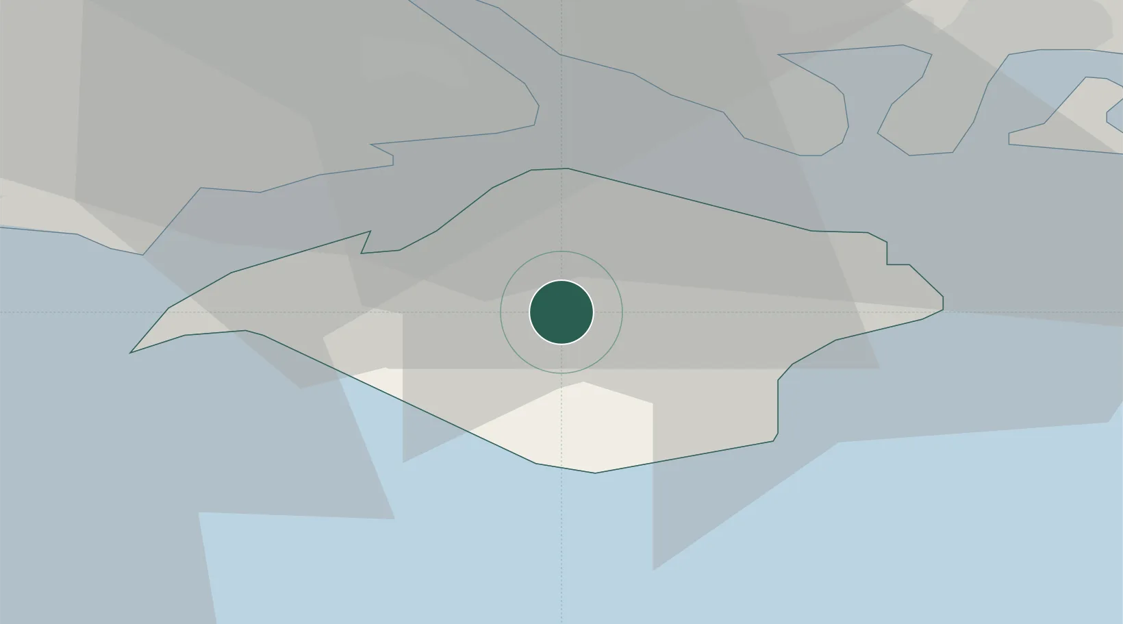
Location
Nearby Logistics Neighbours
Cities
- 1Newport2 km
- 2Downend5 km
- 3Newtown7 km
- 4Brighstone8 km
- 5Fishbourne11 km
Ports
- 1Cowes Harbour9 km
- 2Yarmouth Harbour14 km
- 3Fawley Marine Terminal15 km
- 4Portsmouth Harbour19 km
- 5Southampton25 km
Airports
- 1Southampton Airport30 km
- 2Bournemouth Airport40 km
- 3Lasham Airfield59 km
- 4MoD Boscombe Down61 km
- 5RAF Odiham66 km
Trade Zones
DatabookThe Record of Consolidated Knowledge
United Kingdom beyond logistics?