UN/LOCODE hub · United Kingdom
GBBTL
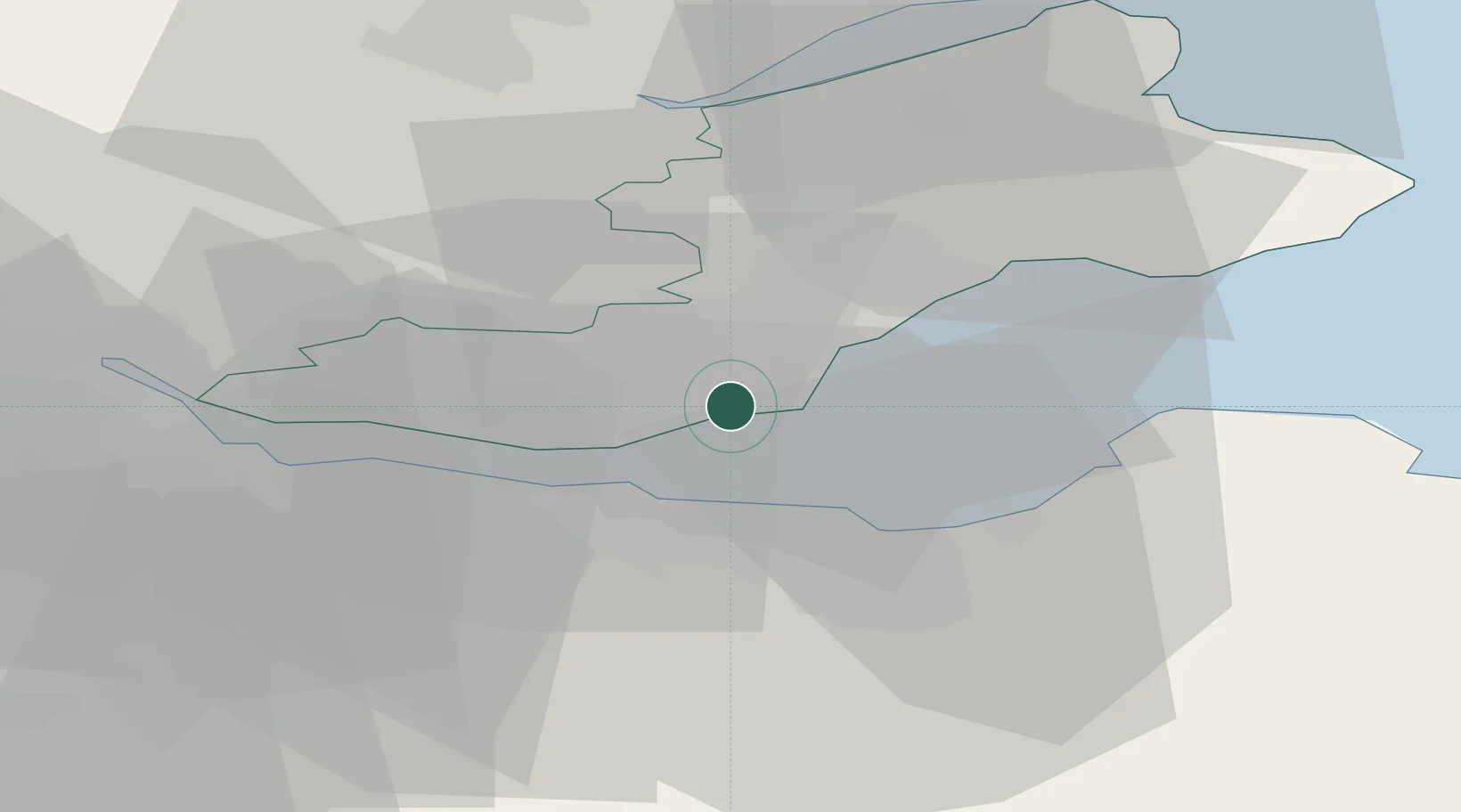
Burntisland
56.0667°, -3.2333°
6,370
Population
1
Transport functions
Transport Functions
Port
Hub Profile
Place type
Populated place
Region
Scotland
Population
6,370
Time zone
Europe/London
Elevation
7 m
Location
Nearby Logistics Neighbours
Cities
- 1Pettycur3 km
- 2Aberdour4 km
- 3Kinghorn4 km
- 4Mossmoran6 km
- 5Braefoot Bay6 km
Ports
- 1Braefoot Bay Terminal6 km
- 2Granton9 km
- 3Leith10 km
- 4Hound Point Terminal11 km
- 5Rosyth14 km
Airports
- 1Edinburgh Airport16 km
- 2Leuchars Station Airfield41 km
- 3Dundee Airport45 km
- 4Glasgow Airport78 km
- 5Glasgow Prestwick Airport105 km
Trade Zones
DatabookThe Record of Consolidated Knowledge
United Kingdom beyond logistics?