Transport Functions
Rail
Road
Hub Profile
Place type
Populated place
Region
Scotland
Time zone
Europe/London
Elevation
98 m
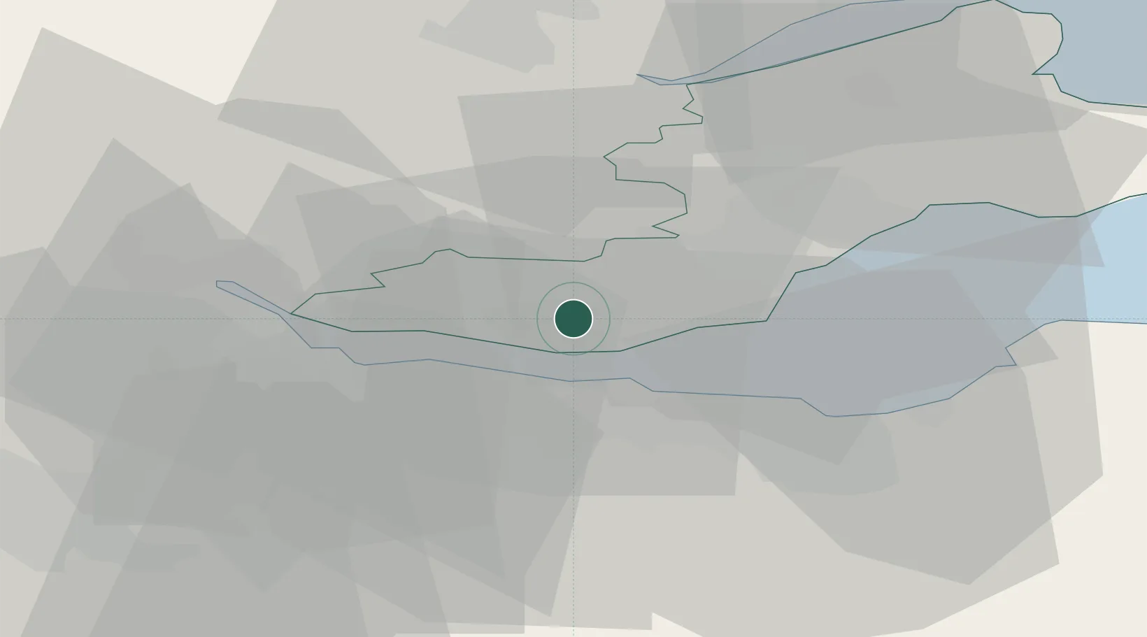
Location
Nearby Logistics Neighbours
Cities
- 1Rosyth4 km
- 2Dalgety Bay5 km
- 3Mossmoran6 km
- 4Braefoot Bay6 km
- 5Inverkeithing6 km
Ports
- 1Rosyth6 km
- 2Braefoot Bay Terminal6 km
- 3Hound Point Terminal8 km
- 4Burntisland11 km
- 5Granton15 km
Airports
- 1Edinburgh Airport13 km
- 2Leuchars Station Airfield47 km
- 3Dundee Airport49 km
- 4Glasgow Airport68 km
- 5Glasgow Prestwick Airport97 km
Trade Zones
DatabookThe Record of Consolidated Knowledge
United Kingdom beyond logistics?