Transport Functions
Rail
Road
Multimodal
Hub Profile
Place type
Populated place
Region
England
Population
1,239
Time zone
Europe/London
Elevation
89 m
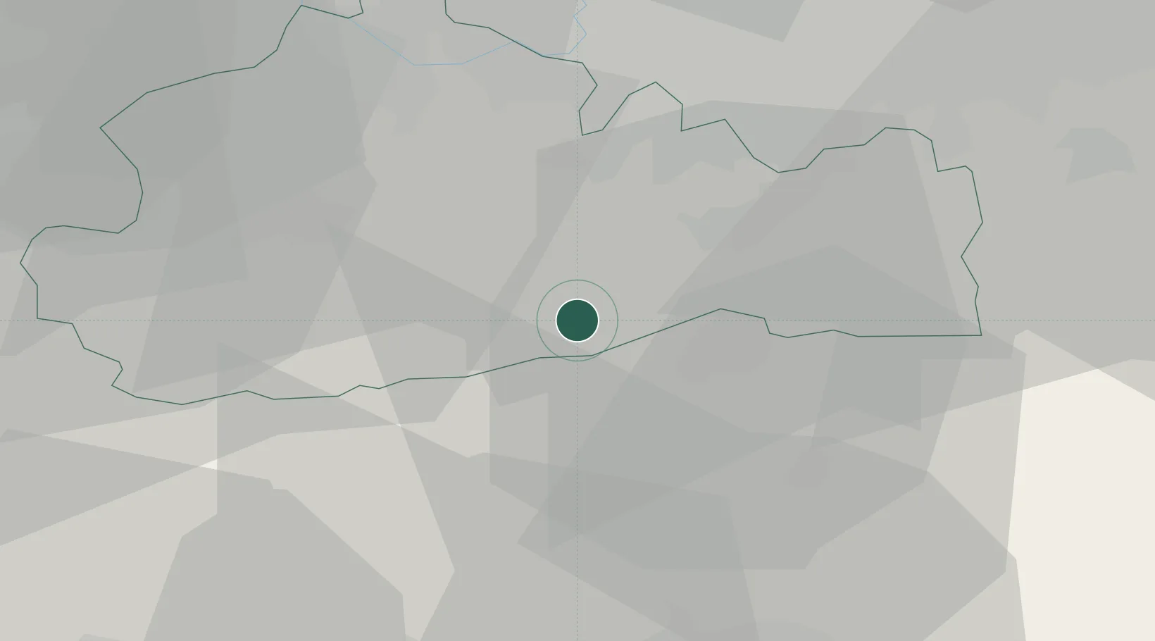
Location
Nearby Logistics Neighbours
Cities
- 1Westcott8 km
- 2Salfords12 km
- 3Barns Green14 km
- 4Chilworth16 km
- 5New Chapel19 km
Ports
- 1Shoreham Harbour37 km
- 2London42 km
- 3Littlehampton Harbour44 km
- 4Newhaven Harbour48 km
- 5Tilbury57 km
Airports
- 1London Gatwick Airport9 km
- 2London Biggin Hill Airport32 km
- 3Farnborough Airport35 km
- 4Brighton City Airport35 km
- 5London Heathrow Airport37 km
Trade Zones
DatabookThe Record of Consolidated Knowledge
United Kingdom beyond logistics?