UN/LOCODE hub · United Kingdom
GBBDT
Broadstairs
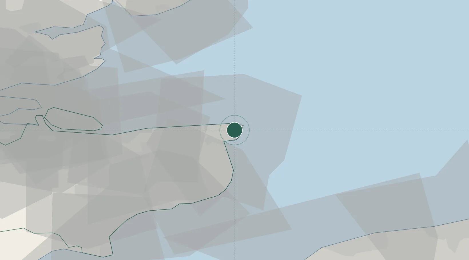
51.3667°, 1.4167°
23,283
Population
3
Transport functions
Transport Functions
Port
Rail
Road
Hub Profile
Place type
Populated place
Region
England
Population
23,283
Time zone
Europe/London
Location
Nearby Logistics Neighbours
Cities
- 1Birchington8 km
- 2Richborough11 km
- 3Sandwich12 km
- 4Preston16 km
- 5Littlebourne21 km
Ports
- 1Ramsgate4 km
- 2Whitstable27 km
- 3Dover Harbor28 km
- 4Folkestone Harbour35 km
- 5Sheerness47 km
Airports
- 1London Southend Airport55 km
- 2Lydd London Ashford Airport57 km
- 3Calais Marck Airport59 km
- 4Wattisham Airfield90 km
- 5Koksijde Air Base91 km
Trade Zones
DatabookThe Record of Consolidated Knowledge
United Kingdom beyond logistics?