Transport Functions
Port
Rail
Road
Hub Profile
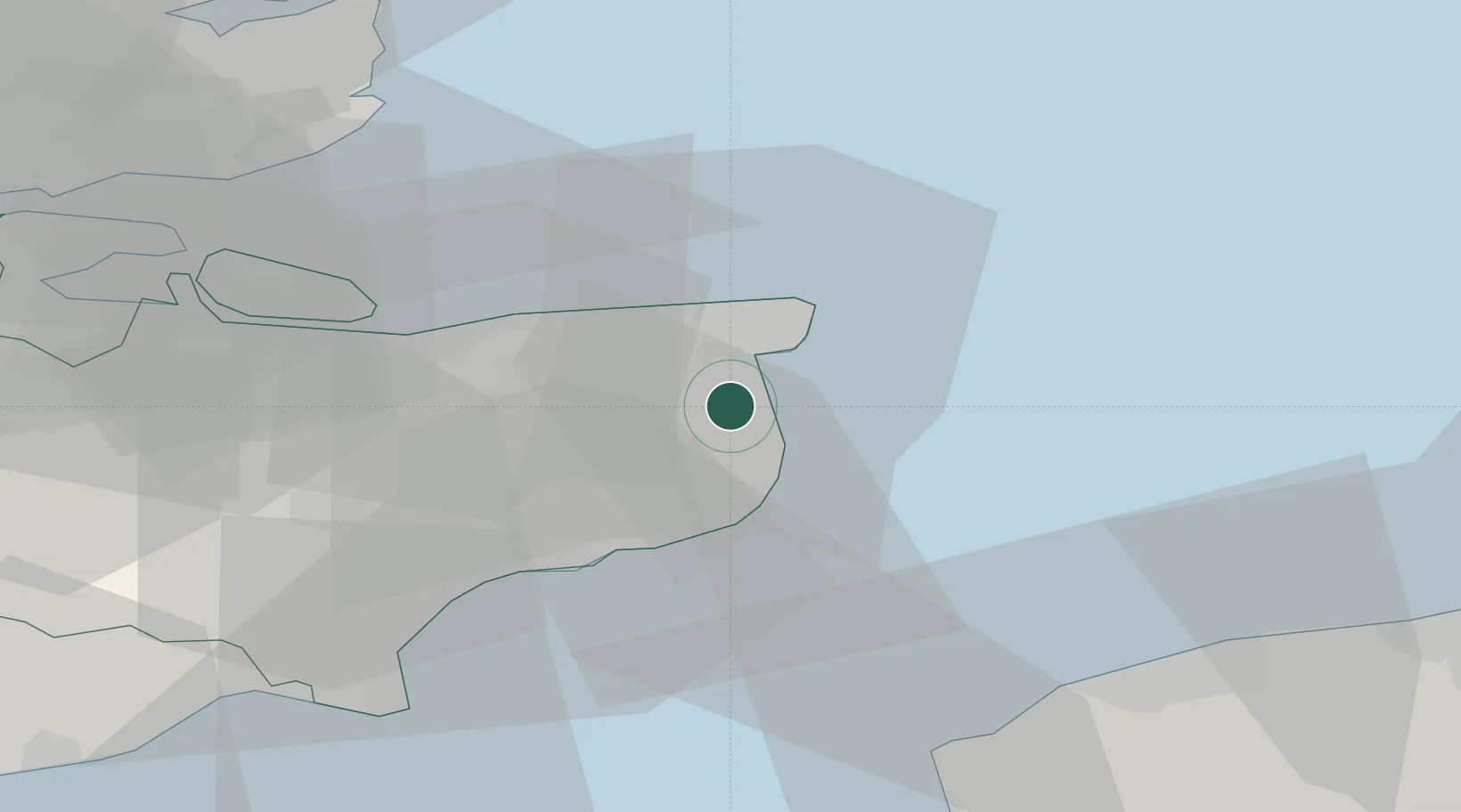
Place type
Populated place
Region
England
Population
4,599
Time zone
Europe/London
Elevation
3 m
Location
Nearby Logistics Neighbours
Cities
- 1Richborough2 km
- 2Preston10 km
- 3Birchington12 km
- 4Broadstairs12 km
- 5Aylesham12 km
Ports
- 1Ramsgate9 km
- 2Dover Harbor17 km
- 3Folkestone Harbour23 km
- 4Whitstable25 km
- 5Sheerness46 km
Airports
Trade Zones
DatabookThe Record of Consolidated Knowledge
United Kingdom beyond logistics?