Transport Functions
Port
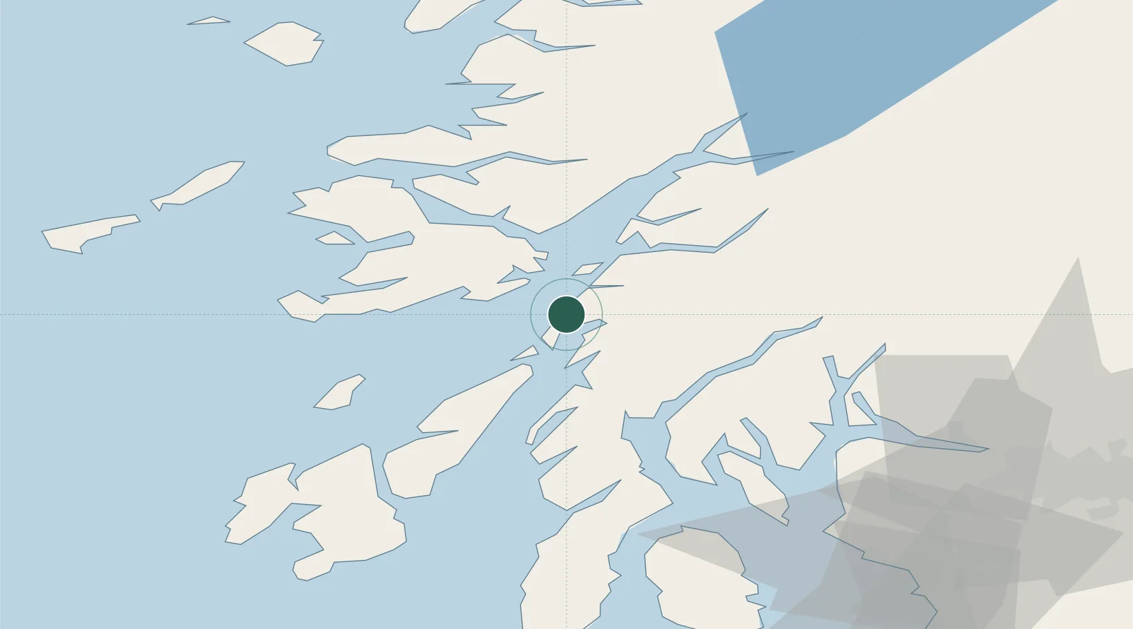
Hub Profile
Place type
Populated place
Region
Scotland
Time zone
Europe/London
Elevation
8 m
Location
Nearby Logistics Neighbours
Cities
- 1Cuan Ferry, Seil3 km
- 2South Cuan, Luing3 km
- 3Easdale, Seil3 km
- 4Ellenabeich, Seil3 km
- 5Toberonochy9 km
Ports
- 1Oban17 km
- 2Craignure21 km
- 3Crinan (Canal)22 km
- 4Ardrishaig31 km
- 5Lochaline31 km
Airports
- 1Oban Airport24 km
- 2Colonsay Airstrip47 km
- 3Coll Airport72 km
- 4Islay Airport78 km
- 5Tiree Airport82 km
Trade Zones
DatabookThe Record of Consolidated Knowledge
United Kingdom beyond logistics?