UN/LOCODE hub · France
FRZZN

Puygouzon

43.9000°, 2.1667°
2,910
Population
1
Transport functions

Transport Functions

Multimodal
UN/LOCODE

Hub Profile

Place type
Populated place
GeoNames
Region
Occitanie
GeoNames
Population
2,910
GeoNames
Time zone
Europe/Paris
GeoNames
Elevation
261 m
GeoNames

Location

Location of FRZZN
Natural Earth 10m (public domain) · Occitanie · FRZZN · 43.90, 2.17GoogleOSMYandex

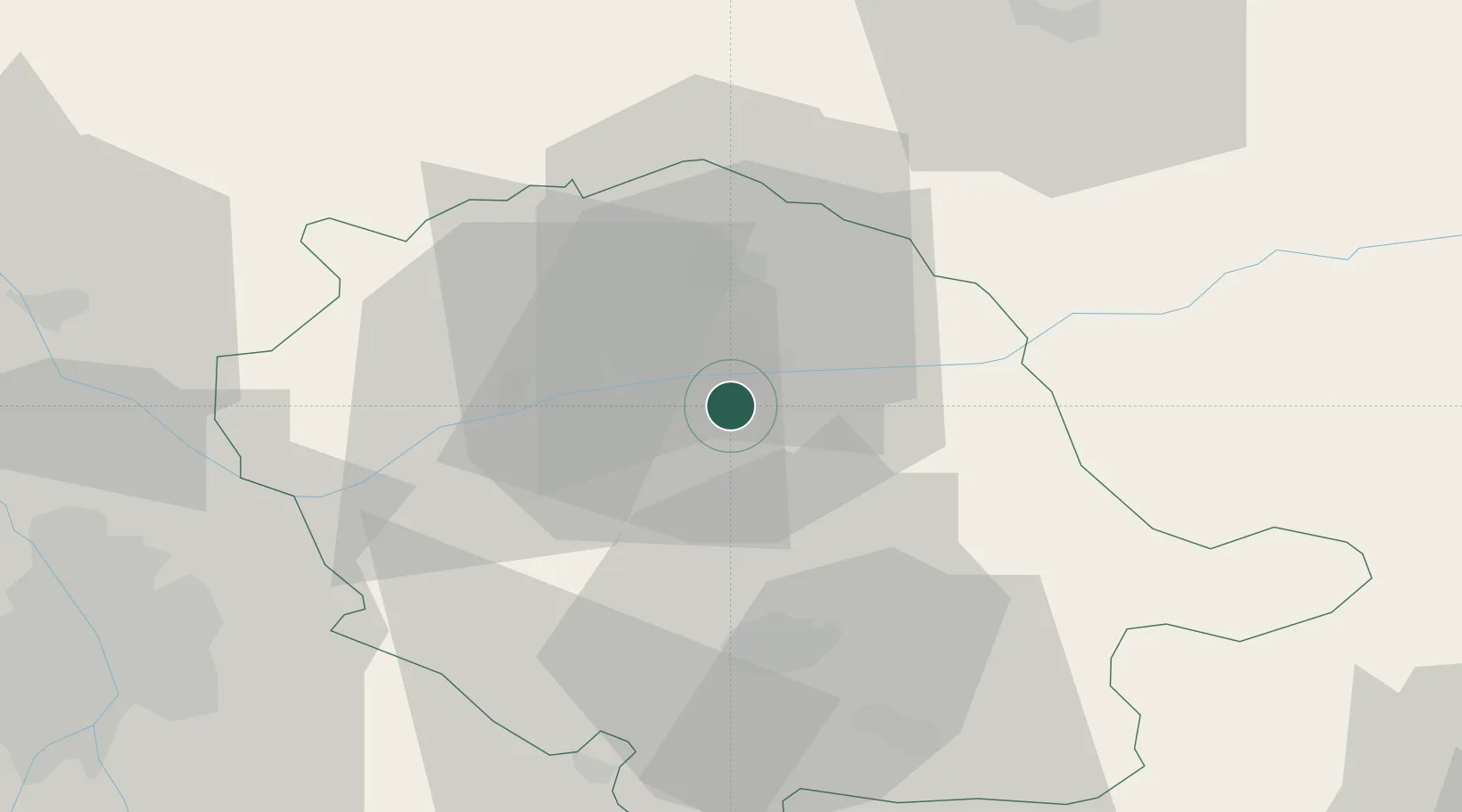
Nearby Logistics Neighbours

Cities
  1. 1Albi4 km
  2. 2Le Sequestre Apt/Albi4 km
  3. 3Cambon4 km
  4. 4Marssac-sur-Tarn11 km
  5. 5Florentin11 km
Nearest neighbours — logibook spatial index (haversine) over the source coordinates
Ports
  1. 1Port-La-Nouvelle122 km
  2. 2Sete135 km
  3. 3Port-Vendres172 km
  4. 4Rosas200 km
  5. 5Port Saint Louis Du Rhone221 km
Nearest neighbours — logibook spatial index (haversine) over the source coordinates
Airports
  1. 1Albi Le Sequestre airport5 km
  2. 2Castres Mazamet Airport40 km
  3. 3Rodez–Aveyron Airport62 km
  4. 4Toulouse-Blagnac Airport71 km
  5. 5Cahors Lalbenque airport75 km
Nearest neighbours — logibook spatial index (haversine) over the source coordinates
Trade Zones
  1. 1ZFU Toulouse67 km
  2. 2ZFU Béziers105 km
  3. 3ZFU Montpellier139 km
  4. 4ZFU Perpignan146 km
  5. 5ZFU Nîmes175 km
Nearest neighbours — logibook spatial index (haversine) over the source coordinates
DatabookThe Record of Consolidated Knowledge
France beyond logistics?
Browse databook

All Sources

LocationsUN/LOCODE
UN/LOCODE — free
LocationsGeoNames
CC BY 4.0
Portsthe NGA World Port Index
Public domain (US gov)
AirportsOurAirports
Public domain
Trade Zonesthe World Bank SEZ database
CC BY 4.0
Trade ZonesOpen Zone Map
CC BY
← France locations