UN/LOCODE hub · France
FRBBI

Albi

43.9333°, 2.1500°
52,409
Population
1
Transport functions

Transport Functions

Multimodal
UN/LOCODE

Hub Profile

Place type
Provincial seat
GeoNames
Region
Occitanie
GeoNames
Population
52,409
GeoNames
Time zone
Europe/Paris
GeoNames
Elevation
177 m
GeoNames

Location

Location of FRBBI
Natural Earth 10m (public domain) · Occitanie · FRBBI · 43.93, 2.15GoogleOSMYandex

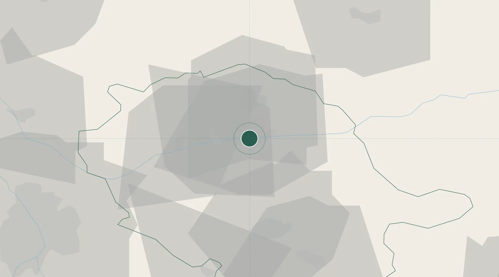
Nearby Logistics Neighbours

Cities
  1. 1Puygouzon4 km
  2. 2Le Sequestre Apt/Albi5 km
  3. 3Cambon6 km
  4. 4Marssac-sur-Tarn10 km
  5. 5Castanet11 km
Nearest neighbours — logibook spatial index (haversine) over the source coordinates
Ports
  1. 1Port-La-Nouvelle126 km
  2. 2Sete138 km
  3. 3Port-Vendres176 km
  4. 4Rosas203 km
  5. 5Port Saint Louis Du Rhone223 km
Nearest neighbours — logibook spatial index (haversine) over the source coordinates
Airports
  1. 1Albi Le Sequestre airport4 km
  2. 2Castres Mazamet Airport43 km
  3. 3Rodez–Aveyron Airport59 km
  4. 4Cahors Lalbenque airport71 km
  5. 5Toulouse-Blagnac Airport72 km
Nearest neighbours — logibook spatial index (haversine) over the source coordinates
Trade Zones
  1. 1ZFU Toulouse68 km
  2. 2ZFU Béziers109 km
  3. 3ZFU Montpellier141 km
  4. 4ZFU Perpignan150 km
  5. 5ZFU Nîmes176 km
Nearest neighbours — logibook spatial index (haversine) over the source coordinates
DatabookThe Record of Consolidated Knowledge
France beyond logistics?
Browse databook

All Sources

LocationsUN/LOCODE
UN/LOCODE — free
LocationsGeoNames
CC BY 4.0
Portsthe NGA World Port Index
Public domain (US gov)
AirportsOurAirports
Public domain
Trade Zonesthe World Bank SEZ database
CC BY 4.0
Trade ZonesOpen Zone Map
CC BY
← France locations