UN/LOCODE hub · France
FRZFX

Cambon

43.9167°, 2.2167°
1
Transport functions

Transport Functions

Multimodal
UN/LOCODE

Hub Profile

Place type
Populated place
GeoNames
Region
Occitanie
GeoNames
Time zone
Europe/Paris
GeoNames
Elevation
224 m
GeoNames

Location

Location of FRZFX
Natural Earth 10m (public domain) · Occitanie · FRZFX · 43.92, 2.22GoogleOSMYandex

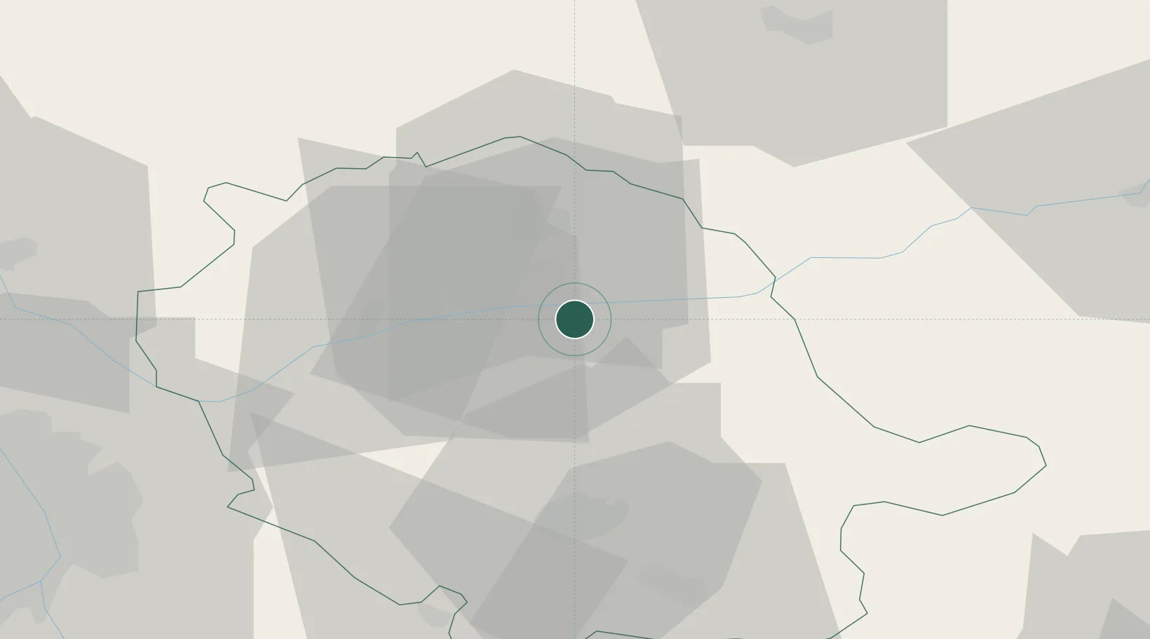
Nearby Logistics Neighbours

Cities
  1. 1Puygouzon4 km
  2. 2Albi6 km
  3. 3Le Sequestre Apt/Albi8 km
  4. 4Marssac-sur-Tarn15 km
  5. 5Florentin15 km
Nearest neighbours — logibook spatial index (haversine) over the source coordinates
Ports
  1. 1Port-La-Nouvelle121 km
  2. 2Sete132 km
  3. 3Port-Vendres172 km
  4. 4Rosas200 km
  5. 5Port Saint Louis Du Rhone217 km
Nearest neighbours — logibook spatial index (haversine) over the source coordinates
Airports
  1. 1Albi Le Sequestre airport8 km
  2. 2Castres Mazamet Airport41 km
  3. 3Rodez–Aveyron Airport59 km
  4. 4Toulouse-Blagnac Airport76 km
  5. 5Cahors Lalbenque airport76 km
Nearest neighbours — logibook spatial index (haversine) over the source coordinates
Trade Zones
  1. 1ZFU Toulouse71 km
  2. 2ZFU Béziers103 km
  3. 3ZFU Montpellier135 km
  4. 4ZFU Perpignan146 km
  5. 5ZFU Nîmes171 km
Nearest neighbours — logibook spatial index (haversine) over the source coordinates
DatabookThe Record of Consolidated Knowledge
France beyond logistics?
Browse databook

All Sources

LocationsUN/LOCODE
UN/LOCODE — free
Portsthe NGA World Port Index
Public domain (US gov)
AirportsOurAirports
Public domain
Trade Zonesthe World Bank SEZ database
CC BY 4.0
Trade ZonesOpen Zone Map
CC BY
← France locations