UN/LOCODE hub · France
FRLBI

Le Sequestre Apt/Albi

43.9000°, 2.1167°
3
Transport functions

Transport Functions

Rail
Road
Airport
UN/LOCODE

Hub Profile

Region
81
GeoNames

Location

Location of FRLBI
Natural Earth 10m (public domain) · 81 · FRLBI · 43.90, 2.12GoogleOSMYandex

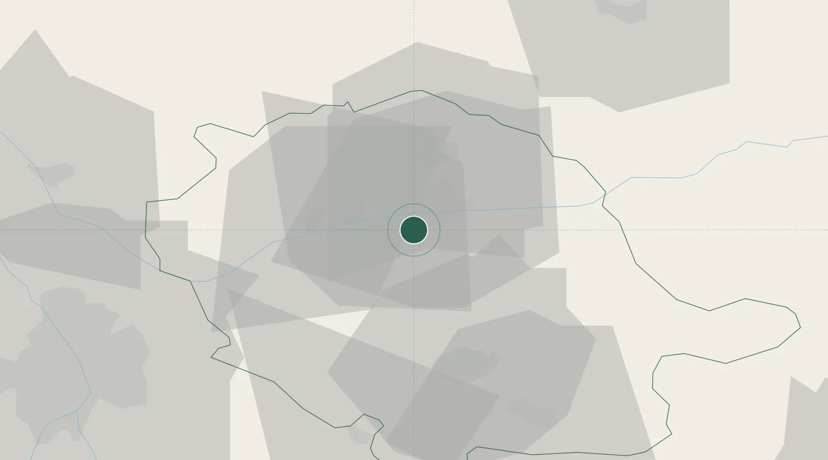
Nearby Logistics Neighbours

Cities
  1. 1Puygouzon4 km
  2. 2Albi5 km
  3. 3Marssac-sur-Tarn7 km
  4. 4Florentin7 km
  5. 5Cambon8 km
Nearest neighbours — logibook spatial index (haversine) over the source coordinates
Ports
  1. 1Port-La-Nouvelle125 km
  2. 2Sete139 km
  3. 3Port-Vendres174 km
  4. 4Rosas201 km
  5. 5Port Saint Louis Du Rhone225 km
Nearest neighbours — logibook spatial index (haversine) over the source coordinates
Airports
  1. 1Albi Le Sequestre airport2 km
  2. 2Castres Mazamet Airport41 km
  3. 3Rodez–Aveyron Airport64 km
  4. 4Toulouse-Blagnac Airport68 km
  5. 5Cahors Lalbenque airport72 km
Nearest neighbours — logibook spatial index (haversine) over the source coordinates
Trade Zones
  1. 1ZFU Toulouse63 km
  2. 2ZFU Béziers109 km
  3. 3ZFU Montpellier143 km
  4. 4ZFU Perpignan148 km
  5. 5ZFU Nîmes179 km
Nearest neighbours — logibook spatial index (haversine) over the source coordinates
DatabookThe Record of Consolidated Knowledge
France beyond logistics?
Browse databook

All Sources

LocationsUN/LOCODE
UN/LOCODE — free
Portsthe NGA World Port Index
Public domain (US gov)
AirportsOurAirports
Public domain
Trade Zonesthe World Bank SEZ database
CC BY 4.0
Trade ZonesOpen Zone Map
CC BY
← France locations